

Annapurna Circuit
Around the Annapurna massif and over Thorong La: your circuit, day by day, in a printed book.
100 mi
(160 km)
12–18 days
Vollständiger Thru-Hike
Thorong La (17,769 ft / 5,416 m)
Monatelange Strapazen gehören nicht ins Smartphone-Archiv
Rice terraces, the Manang valley, the crossing of Thorong La at 5,416 m, then Muktinath and the Kali Gandaki. Depending on where you start and how much road you skip, the circuit runs from about 160 to 230 km. Your book follows your own tracks, tea house after tea house.
- The pass day as its own chapter
- Tea house by tea house, with your notes
- Your photos placed on the right day automatically
- Side trips welcome: Tilicho Lake, Ice Lake, Poon Hill
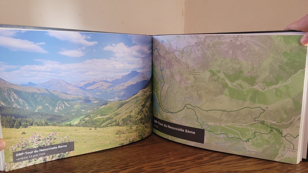
Die großen Etappen Ihres Annapurna Circuit
Jeder Abschnitt wird automatisch in illustrierte Kapitel mit GPS-Routen und geolokalisierten Fotos unterteilt.
Marsyangdi valley
Rice terraces, suspension bridges and waterfalls on the way up the valley.
Manang & acclimatisation
Pisang, the views of Annapurna II and III, rest days around Manang.
Thorong La
Thorong Phedi or High Camp, the crossing at dawn, the descent to Muktinath.
Kali Gandaki
The windy valley between Dhaulagiri and the Annapurnas, Marpha and its apples.
In 3 einfachen Schritten zum eigenen Buch
Kein Layout-Stress: Unser intelligenter Algorithmus baut alles automatisch zusammen.
Strava verbinden oder GPX hochladen
Alle Abschnitte werden sekundenschnell mit GPS-Tracks, Höhenprofilen und Zeitstempeln geladen.
Smartphone-Fotos synchronisieren
Unsere Engine ordnet jedes Foto anhand von Zeit und GPS automatisch dem passenden Pass, See oder Camp zu.
In 3D durchblättern & drucken
Gestalten Sie Ihr Cover, prüfen Sie die virtuelle 3D-Vorschau und erhalten Sie Ihr gedrucktes Meisterwerk direkt nach Hause.
Alles Wissenswerte über Ihr Fernwanderbuch
Ihr Annapurna Circuit verdient einen Ehrenplatz auf dem Couchtisch
Verbinden Sie Ihr Strava-Konto oder laden Sie GPX-Dateien mit 1 Klick hoch, um Ihr virtuelles Buch sofort kostenlos zu sehen.