
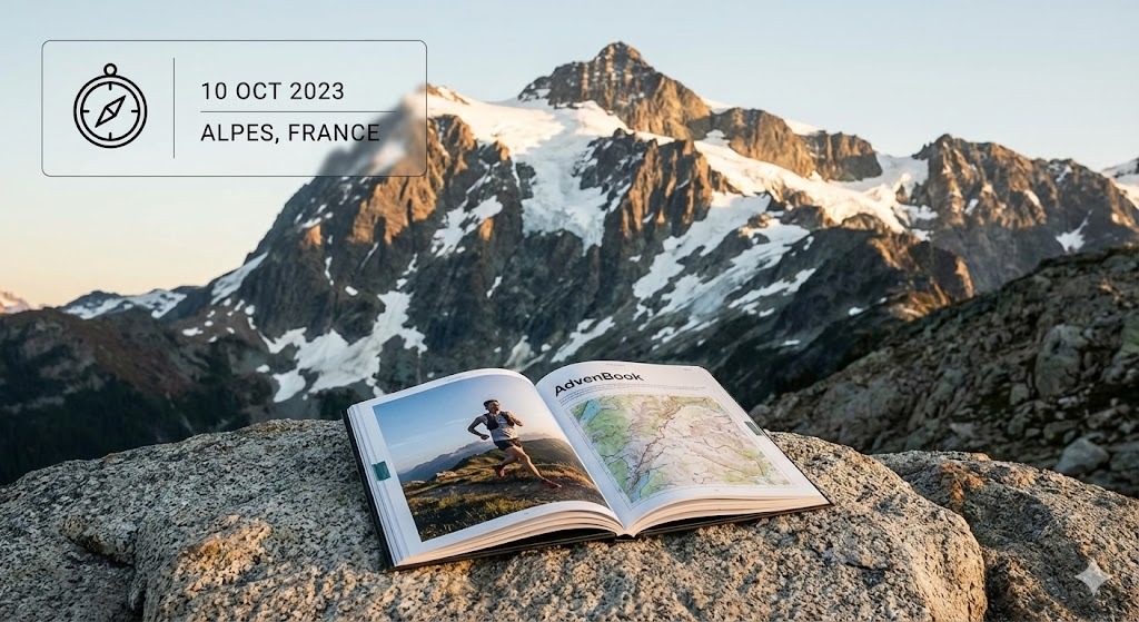
Bibbulmun Track
From Kalamunda to Albany: your Bibbulmun Track, end to end or section by section, in a printed book.
621 mi
(1,000 km)
6–8 weeks end to end
Vollständiger Thru-Hike
Mount Cooke (1,909 ft / 582 m)
Monatelange Strapazen gehören nicht ins Smartphone-Archiv
Nearly 1,000 km through the jarrah and karri forests of Western Australia, down to the south coast and Albany. Some walk it end to end in six to eight weeks, others section by section over years. Either way, your book gives every day its map, its profile and your photos.
- End to end or section by section over years
- Every campsite as a chapter
- Your end-to-end moment in Albany printed large
- Up to 400 pages in hardcover for the whole track
Die großen Etappen Ihres Bibbulmun
Jeder Abschnitt wird automatisch in illustrierte Kapitel mit GPS-Routen und geolokalisierten Fotos unterteilt.
Perth Hills & jarrah forest
The northern terminus, granite outcrops and the jarrah forest.
Karri country
Collie, Balingup, the tall karri forests around Pemberton.
South coast
The Valley of the Giants, beaches and headlands to the southern terminus in Albany.
In 3 einfachen Schritten zum eigenen Buch
Kein Layout-Stress: Unser intelligenter Algorithmus baut alles automatisch zusammen.
Strava verbinden oder GPX hochladen
Alle Abschnitte werden sekundenschnell mit GPS-Tracks, Höhenprofilen und Zeitstempeln geladen.
Smartphone-Fotos synchronisieren
Unsere Engine ordnet jedes Foto anhand von Zeit und GPS automatisch dem passenden Pass, See oder Camp zu.
In 3D durchblättern & drucken
Gestalten Sie Ihr Cover, prüfen Sie die virtuelle 3D-Vorschau und erhalten Sie Ihr gedrucktes Meisterwerk direkt nach Hause.
Alles Wissenswerte über Ihr Fernwanderbuch
Ihr Bibbulmun verdient einen Ehrenplatz auf dem Couchtisch
Verbinden Sie Ihr Strava-Konto oder laden Sie GPX-Dateien mit 1 Klick hoch, um Ihr virtuelles Buch sofort kostenlos zu sehen.