
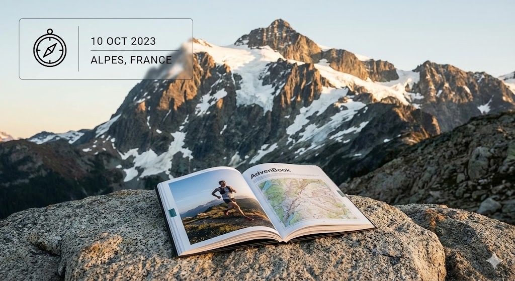
Mount Kilimanjaro
From the rainforest to Uhuru Peak: turn your Kilimanjaro climb into a printed book.
38 mi
(62 km)
6–7 days (Machame Route)
Vollständiger Thru-Hike
Uhuru Peak (19,341 ft / 5,895 m)
Monatelange Strapazen gehören nicht ins Smartphone-Archiv
Rainforest, heather, alpine desert, then the glaciers and the summit night. Climbing Kilimanjaro is a week you will tell about for the rest of your life. Bring your GPS track, your photos and the notes from each camp together in one printed book: every day gets its map, its elevation profile and its story.
- Each day as a chapter, camp by camp
- Your summit photo at Uhuru Peak, printed large
- The altitude profile of the whole climb
- Room for the names of your guides and porters
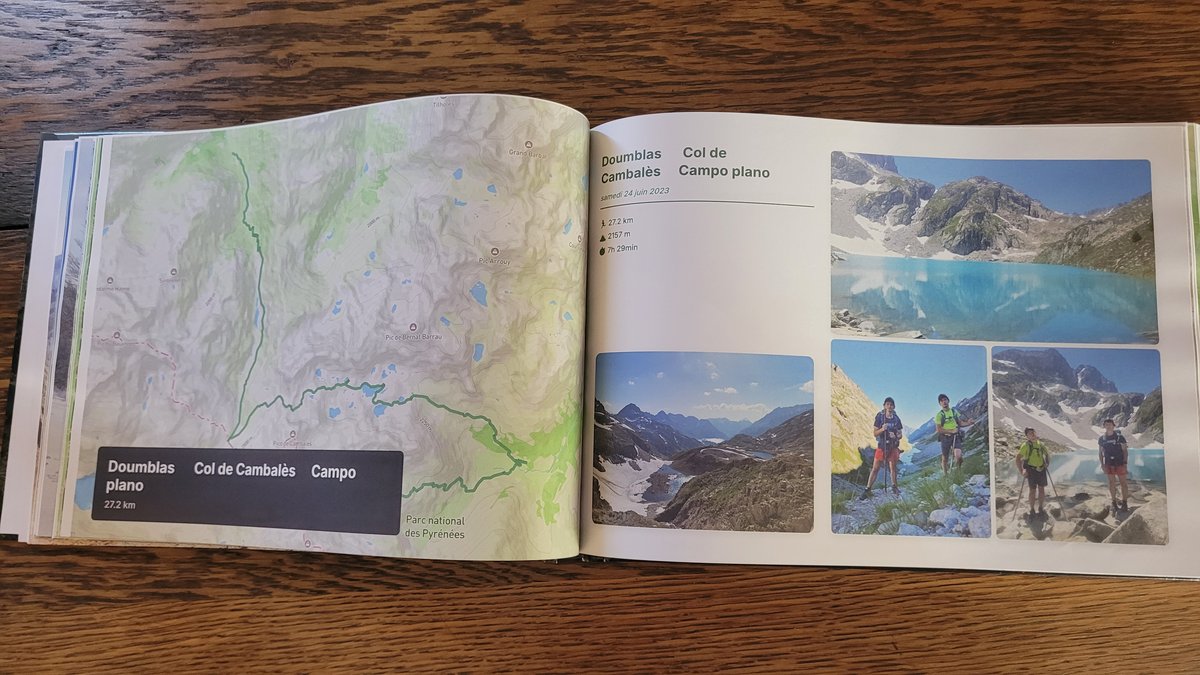
Die großen Etappen Ihres Kilimanjaro
Jeder Abschnitt wird automatisch in illustrierte Kapitel mit GPS-Routen und geolokalisierten Fotos unterteilt.
Rainforest
Dense montane forest, the first camp at the edge of the trees.
Shira Plateau & Lava Tower
Heather and moorland, then the climb high and sleep low for acclimatisation.
Barranco Wall & Karanga
The scramble up the Barranco Wall, the traverse under the southern glaciers.
Summit night
Departure around midnight, Stella Point at sunrise, Uhuru Peak, then the long descent.
In 3 einfachen Schritten zum eigenen Buch
Kein Layout-Stress: Unser intelligenter Algorithmus baut alles automatisch zusammen.
Strava verbinden oder GPX hochladen
Alle Abschnitte werden sekundenschnell mit GPS-Tracks, Höhenprofilen und Zeitstempeln geladen.
Smartphone-Fotos synchronisieren
Unsere Engine ordnet jedes Foto anhand von Zeit und GPS automatisch dem passenden Pass, See oder Camp zu.
In 3D durchblättern & drucken
Gestalten Sie Ihr Cover, prüfen Sie die virtuelle 3D-Vorschau und erhalten Sie Ihr gedrucktes Meisterwerk direkt nach Hause.
Alles Wissenswerte über Ihr Fernwanderbuch
Ihr Kilimanjaro verdient einen Ehrenplatz auf dem Couchtisch
Verbinden Sie Ihr Strava-Konto oder laden Sie GPX-Dateien mit 1 Klick hoch, um Ihr virtuelles Buch sofort kostenlos zu sehen.