
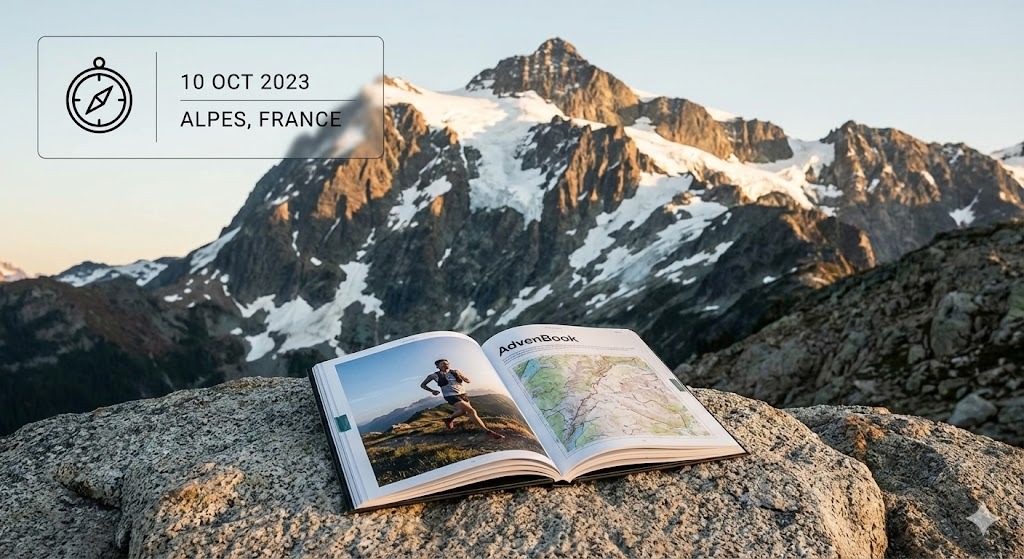
Larapinta Trail
Along the West MacDonnell Ranges to Mount Sonder: your Larapinta in a printed book.
139 mi
(223 km)
12–20 days (12 sections)
Vollständiger Thru-Hike
Mount Sonder (4,528 ft / 1,380 m)
Monatelange Strapazen gehören nicht ins Smartphone-Archiv
From the Alice Springs Telegraph Station to the summit of Mount Sonder (Rwetyepme), 223 km along the ridges of the West MacDonnell Ranges. Red rock, gorges, waterholes and the sunrise on Mount Sonder. Twelve sections, one book: every day gets its map, its profile and your photos.
- One chapter per section
- The Mount Sonder sunrise printed large
- End-to-end or section by section, over several trips
- Printed and shipped for free to Australia
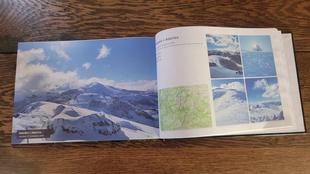
Die großen Etappen Ihres Larapinta
Jeder Abschnitt wird automatisch in illustrierte Kapitel mit GPS-Routen und geolokalisierten Fotos unterteilt.
Alice Springs to Standley Chasm
The Telegraph Station, Simpsons Gap and the narrow walls of Standley Chasm.
Brinkley Bluff & Hugh Gorge
One of the great ridge walks, then the gorges towards Ellery Creek.
Ormiston Gorge & Mount Sonder
Serpentine Gorge, Ormiston Gorge, Finke River and the sunrise climb of Mount Sonder.
In 3 einfachen Schritten zum eigenen Buch
Kein Layout-Stress: Unser intelligenter Algorithmus baut alles automatisch zusammen.
Strava verbinden oder GPX hochladen
Alle Abschnitte werden sekundenschnell mit GPS-Tracks, Höhenprofilen und Zeitstempeln geladen.
Smartphone-Fotos synchronisieren
Unsere Engine ordnet jedes Foto anhand von Zeit und GPS automatisch dem passenden Pass, See oder Camp zu.
In 3D durchblättern & drucken
Gestalten Sie Ihr Cover, prüfen Sie die virtuelle 3D-Vorschau und erhalten Sie Ihr gedrucktes Meisterwerk direkt nach Hause.
Alles Wissenswerte über Ihr Fernwanderbuch
Ihr Larapinta verdient einen Ehrenplatz auf dem Couchtisch
Verbinden Sie Ihr Strava-Konto oder laden Sie GPX-Dateien mit 1 Klick hoch, um Ihr virtuelles Buch sofort kostenlos zu sehen.