

Milford Track
Four days through Fiordland, over Mackinnon Pass: your Milford Track in a printed book.
33.2 mi
(53.5 km)
4 days (3 nights)
Vollständiger Thru-Hike
Mackinnon Pass (3,786 ft / 1,154 m)
Monatelange Strapazen gehören nicht ins Smartphone-Archiv
The boat to Glade Wharf, the Clinton valley, Mackinnon Pass, Sutherland Falls and the last day to Sandfly Point. The Milford Track is walked in one direction, over four days, and every day is different. Your book gives each one its map, its profile and your photos.
- One chapter per day, hut to hut
- Mackinnon Pass and Sutherland Falls printed large
- Rain days too: often the best stories
- Combine it with Routeburn or Kepler in one book
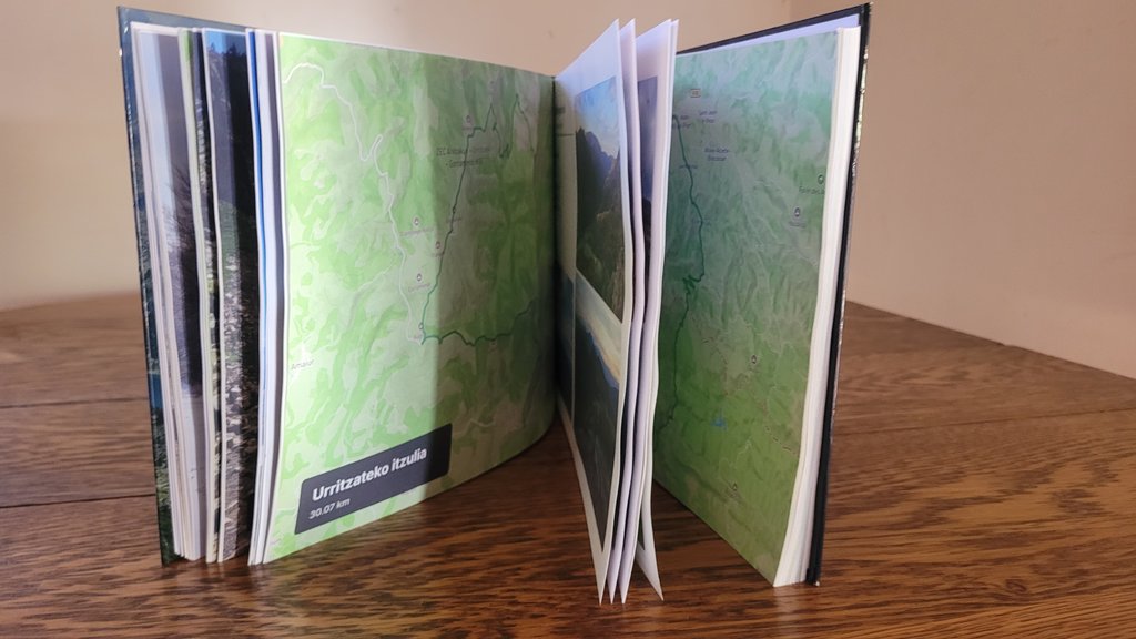
Die großen Etappen Ihres Milford Track
Jeder Abschnitt wird automatisch in illustrierte Kapitel mit GPS-Routen und geolokalisierten Fotos unterteilt.
Glade Wharf → Clinton Hut
The boat across Lake Te Anau and a short first walk along the Clinton River.
Clinton Hut → Mintaro Hut
The glacier-carved valley, waterfalls and the climb towards the pass.
Mintaro Hut → Dumpling Hut
The pass, the memorial, the descent and the side trip to Sutherland Falls.
Dumpling Hut → Sandfly Point
Mackay Falls, Bell Rock, Lake Ada and the boat to Milford Sound.
In 3 einfachen Schritten zum eigenen Buch
Kein Layout-Stress: Unser intelligenter Algorithmus baut alles automatisch zusammen.
Strava verbinden oder GPX hochladen
Alle Abschnitte werden sekundenschnell mit GPS-Tracks, Höhenprofilen und Zeitstempeln geladen.
Smartphone-Fotos synchronisieren
Unsere Engine ordnet jedes Foto anhand von Zeit und GPS automatisch dem passenden Pass, See oder Camp zu.
In 3D durchblättern & drucken
Gestalten Sie Ihr Cover, prüfen Sie die virtuelle 3D-Vorschau und erhalten Sie Ihr gedrucktes Meisterwerk direkt nach Hause.
Alles Wissenswerte über Ihr Fernwanderbuch
Ihr Milford Track verdient einen Ehrenplatz auf dem Couchtisch
Verbinden Sie Ihr Strava-Konto oder laden Sie GPX-Dateien mit 1 Klick hoch, um Ihr virtuelles Buch sofort kostenlos zu sehen.