
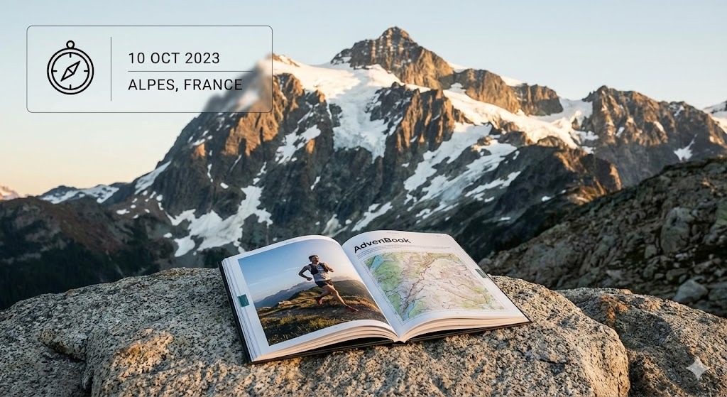
Annapurna Circuit
Around the Annapurna massif and over Thorong La: your circuit, day by day, in a printed book.
100 mi
(160 km)
12–18 days
Thru-hike osoa
Thorong La (17,769 ft / 5,416 m)
Zure hilabeteetako ahaleginak ez du merezi telefono baten memorian ahaztuta geratzea
Rice terraces, the Manang valley, the crossing of Thorong La at 5,416 m, then Muktinath and the Kali Gandaki. Depending on where you start and how much road you skip, the circuit runs from about 160 to 230 km. Your book follows your own tracks, tea house after tea house.
- The pass day as its own chapter
- Tea house by tea house, with your notes
- Your photos placed on the right day automatically
- Side trips welcome: Tilicho Lake, Ice Lake, Poon Hill
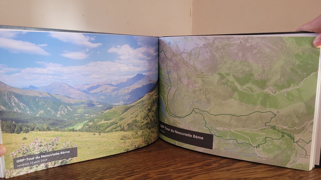
Zure Annapurna Circuit-(r)en atal nagusiak
Sekzio bakoitza kapitulu bereizietan banatzen da, zure GPS ibilbide eta argazki geolokalizatuekin.
Marsyangdi valley
Rice terraces, suspension bridges and waterfalls on the way up the valley.
Manang & acclimatisation
Pisang, the views of Annapurna II and III, rest days around Manang.
Thorong La
Thorong Phedi or High Camp, the crossing at dawn, the descent to Muktinath.
Kali Gandaki
The windy valley between Dhaulagiri and the Annapurnas, Marpha and its apples.
Nola sortu zure liburua 3 urrats errazetan
Diseinu buruhausterik gabe, gure algoritmoak dena automatikoki muntatzen du.
Konektatu Strava edo kargatu GPX
Zure zati guztiak segundotan kargatzen dira GPS ibilbideekin, altuerekin eta ordutegi zehatzekin.
Sinkronizatu zure mugikorreko argazkiak
Gure algoritmoak argazki bakoitza dagokion mendatean, lakuan edo kanpalekuan kokatzen du automatikoki.
Arakatu 3Dn eta inprimatu
Pertsonalizatu zure azala, ikusi 3D aurrebista birtuala eta jaso zure liburua etxean inprimatuta.
Zure mendi-ibilaldi liburuari buruz jakin beharreko guztia
Zure Annapurna Circuit-(e)k leku berezia merezi du zure egongelan
Konektatu zure Strava kontua edo kargatu GPX klik bakarrean zure liburua doan ikusteko.