
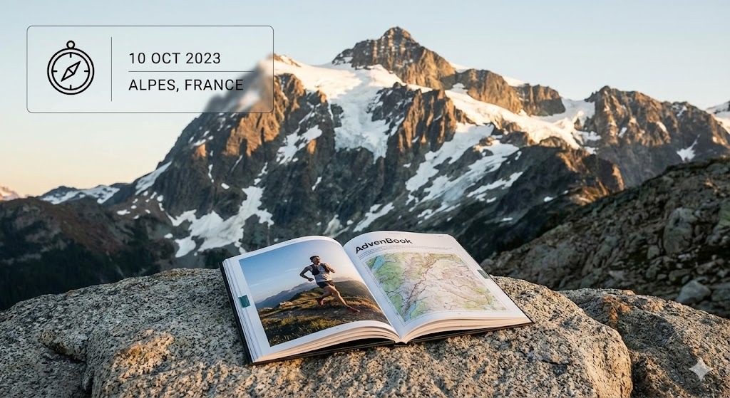
Mount Kilimanjaro
From the rainforest to Uhuru Peak: turn your Kilimanjaro climb into a printed book.
38 mi
(62 km)
6–7 days (Machame Route)
Thru-hike osoa
Uhuru Peak (19,341 ft / 5,895 m)
Zure hilabeteetako ahaleginak ez du merezi telefono baten memorian ahaztuta geratzea
Rainforest, heather, alpine desert, then the glaciers and the summit night. Climbing Kilimanjaro is a week you will tell about for the rest of your life. Bring your GPS track, your photos and the notes from each camp together in one printed book: every day gets its map, its elevation profile and its story.
- Each day as a chapter, camp by camp
- Your summit photo at Uhuru Peak, printed large
- The altitude profile of the whole climb
- Room for the names of your guides and porters
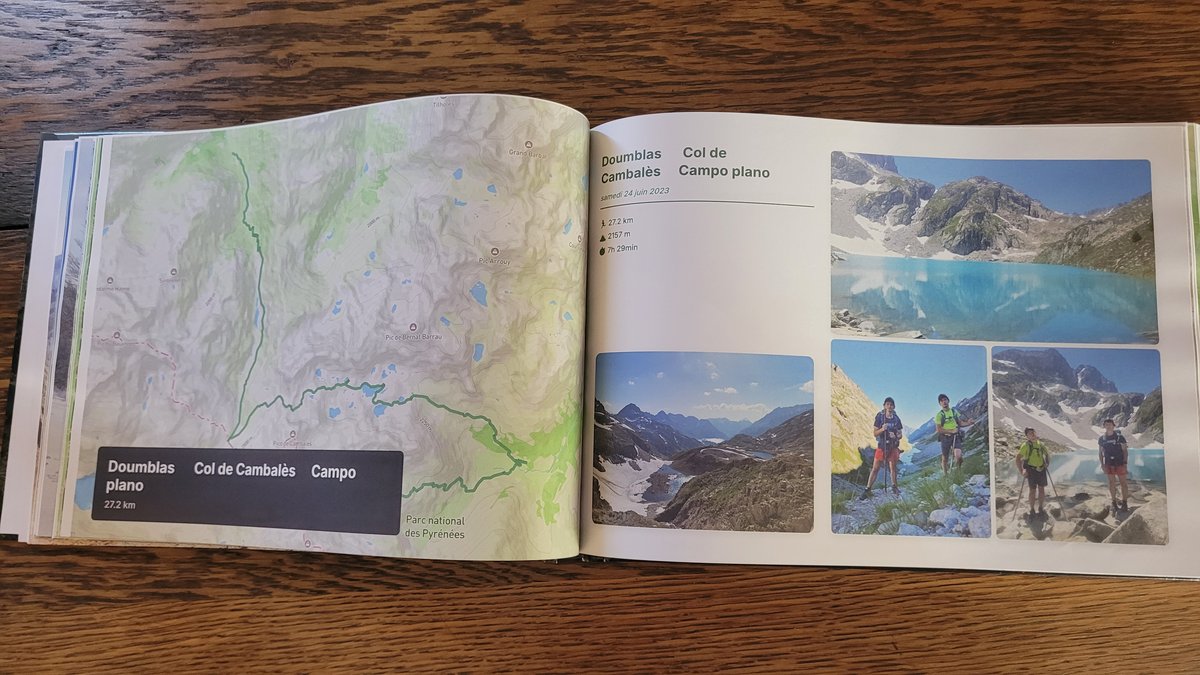
Zure Kilimanjaro-(r)en atal nagusiak
Sekzio bakoitza kapitulu bereizietan banatzen da, zure GPS ibilbide eta argazki geolokalizatuekin.
Rainforest
Dense montane forest, the first camp at the edge of the trees.
Shira Plateau & Lava Tower
Heather and moorland, then the climb high and sleep low for acclimatisation.
Barranco Wall & Karanga
The scramble up the Barranco Wall, the traverse under the southern glaciers.
Summit night
Departure around midnight, Stella Point at sunrise, Uhuru Peak, then the long descent.
Nola sortu zure liburua 3 urrats errazetan
Diseinu buruhausterik gabe, gure algoritmoak dena automatikoki muntatzen du.
Konektatu Strava edo kargatu GPX
Zure zati guztiak segundotan kargatzen dira GPS ibilbideekin, altuerekin eta ordutegi zehatzekin.
Sinkronizatu zure mugikorreko argazkiak
Gure algoritmoak argazki bakoitza dagokion mendatean, lakuan edo kanpalekuan kokatzen du automatikoki.
Arakatu 3Dn eta inprimatu
Pertsonalizatu zure azala, ikusi 3D aurrebista birtuala eta jaso zure liburua etxean inprimatuta.
Zure mendi-ibilaldi liburuari buruz jakin beharreko guztia
Zure Kilimanjaro-(e)k leku berezia merezi du zure egongelan
Konektatu zure Strava kontua edo kargatu GPX klik bakarrean zure liburua doan ikusteko.