
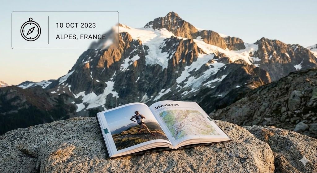
Larapinta Trail
Along the West MacDonnell Ranges to Mount Sonder: your Larapinta in a printed book.
139 mi
(223 km)
12–20 days (12 sections)
Thru-hike osoa
Mount Sonder (4,528 ft / 1,380 m)
Zure hilabeteetako ahaleginak ez du merezi telefono baten memorian ahaztuta geratzea
From the Alice Springs Telegraph Station to the summit of Mount Sonder (Rwetyepme), 223 km along the ridges of the West MacDonnell Ranges. Red rock, gorges, waterholes and the sunrise on Mount Sonder. Twelve sections, one book: every day gets its map, its profile and your photos.
- One chapter per section
- The Mount Sonder sunrise printed large
- End-to-end or section by section, over several trips
- Printed and shipped for free to Australia
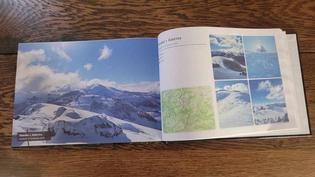
Zure Larapinta-(r)en atal nagusiak
Sekzio bakoitza kapitulu bereizietan banatzen da, zure GPS ibilbide eta argazki geolokalizatuekin.
Alice Springs to Standley Chasm
The Telegraph Station, Simpsons Gap and the narrow walls of Standley Chasm.
Brinkley Bluff & Hugh Gorge
One of the great ridge walks, then the gorges towards Ellery Creek.
Ormiston Gorge & Mount Sonder
Serpentine Gorge, Ormiston Gorge, Finke River and the sunrise climb of Mount Sonder.
Nola sortu zure liburua 3 urrats errazetan
Diseinu buruhausterik gabe, gure algoritmoak dena automatikoki muntatzen du.
Konektatu Strava edo kargatu GPX
Zure zati guztiak segundotan kargatzen dira GPS ibilbideekin, altuerekin eta ordutegi zehatzekin.
Sinkronizatu zure mugikorreko argazkiak
Gure algoritmoak argazki bakoitza dagokion mendatean, lakuan edo kanpalekuan kokatzen du automatikoki.
Arakatu 3Dn eta inprimatu
Pertsonalizatu zure azala, ikusi 3D aurrebista birtuala eta jaso zure liburua etxean inprimatuta.
Zure mendi-ibilaldi liburuari buruz jakin beharreko guztia
Zure Larapinta-(e)k leku berezia merezi du zure egongelan
Konektatu zure Strava kontua edo kargatu GPX klik bakarrean zure liburua doan ikusteko.