

Milford Track
Four days through Fiordland, over Mackinnon Pass: your Milford Track in a printed book.
33.2 mi
(53.5 km)
4 days (3 nights)
Thru-hike osoa
Mackinnon Pass (3,786 ft / 1,154 m)
Zure hilabeteetako ahaleginak ez du merezi telefono baten memorian ahaztuta geratzea
The boat to Glade Wharf, the Clinton valley, Mackinnon Pass, Sutherland Falls and the last day to Sandfly Point. The Milford Track is walked in one direction, over four days, and every day is different. Your book gives each one its map, its profile and your photos.
- One chapter per day, hut to hut
- Mackinnon Pass and Sutherland Falls printed large
- Rain days too: often the best stories
- Combine it with Routeburn or Kepler in one book
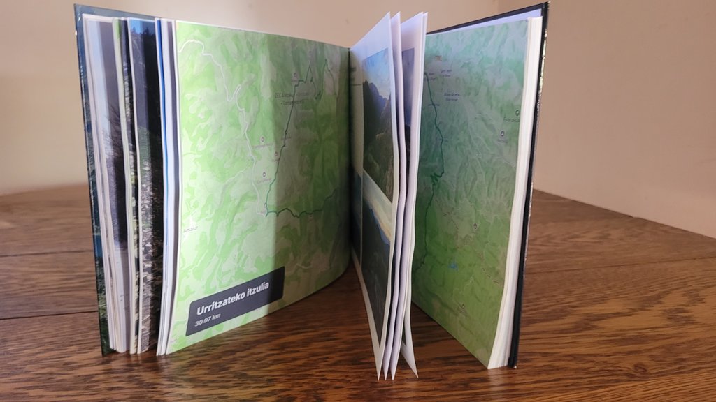
Zure Milford Track-(r)en atal nagusiak
Sekzio bakoitza kapitulu bereizietan banatzen da, zure GPS ibilbide eta argazki geolokalizatuekin.
Glade Wharf → Clinton Hut
The boat across Lake Te Anau and a short first walk along the Clinton River.
Clinton Hut → Mintaro Hut
The glacier-carved valley, waterfalls and the climb towards the pass.
Mintaro Hut → Dumpling Hut
The pass, the memorial, the descent and the side trip to Sutherland Falls.
Dumpling Hut → Sandfly Point
Mackay Falls, Bell Rock, Lake Ada and the boat to Milford Sound.
Nola sortu zure liburua 3 urrats errazetan
Diseinu buruhausterik gabe, gure algoritmoak dena automatikoki muntatzen du.
Konektatu Strava edo kargatu GPX
Zure zati guztiak segundotan kargatzen dira GPS ibilbideekin, altuerekin eta ordutegi zehatzekin.
Sinkronizatu zure mugikorreko argazkiak
Gure algoritmoak argazki bakoitza dagokion mendatean, lakuan edo kanpalekuan kokatzen du automatikoki.
Arakatu 3Dn eta inprimatu
Pertsonalizatu zure azala, ikusi 3D aurrebista birtuala eta jaso zure liburua etxean inprimatuta.
Zure mendi-ibilaldi liburuari buruz jakin beharreko guztia
Zure Milford Track-(e)k leku berezia merezi du zure egongelan
Konektatu zure Strava kontua edo kargatu GPX klik bakarrean zure liburua doan ikusteko.