
Pacific Crest Trail (PCT)
Turn your 2,650-mile PCT thru-hike into a luxury coffee-table keepsake book.
2,650 mi
(4,265 km)
+489,000 ft
(+149,000 m)
150 days (5 months)
Thru-hike osoa
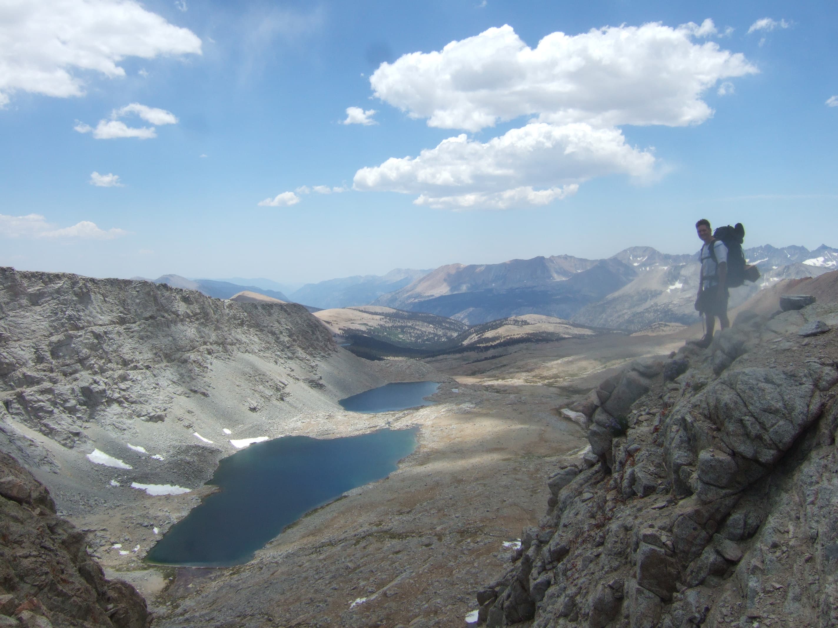
Forester Pass (13,200 ft / 4,023 m)
Zure hilabeteetako ahaleginak ez du merezi telefono baten memorian ahaztuta geratzea
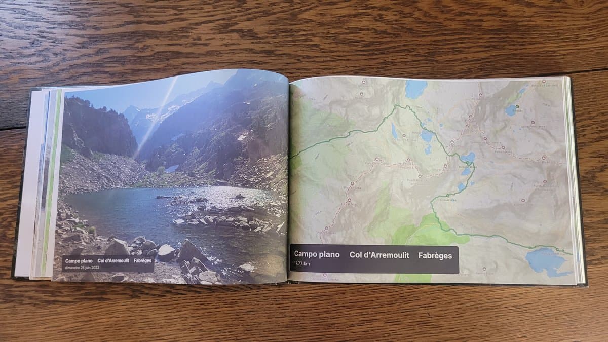
From the blazing heat of the Mojave Desert and the granite passes of the High Sierra to the jagged volcanoes of Oregon and the remote glaciers of the North Cascades: you conquered 2,650 miles of true American wilderness. Don't leave your thousands of photos, Strava GPS tracks, and campsite memories lost in smartphone folders. AdvenBook automatically compiles your entire journey into a museum-quality, custom printed coffee-table book with synchronized topographic maps and elevation profiles.
- Automatic chronologic sync of Strava, Garmin inReach and smartphone photos
- Topographic Satellite maps tracking your exact route across CA, OR, and WA
- True elevation profiles for high passes like Forester, Glen, and Muir Pass
- Smyth-sewn layflat or hardcover binding built to last a lifetime
- Printed locally in the USA and Europe with premium 170gsm art paper
Nick Fowler-en balentria historikoa (45 egun autonomian)
45 days, 17 hours, 47 minutes•56.7 mi / day (91.3 km / day) • up to 18h moving/day
2024ko abuztuan, Nick Fowler estatubatuar ultra-erresistentziako atletak Pacific Crest Trail-eko errekorra hautsi zuen autosufizientzian (self-supported). Kanada eta Mexiko arteko 4.270 km-ak 45 egun, 17 ordu eta 47 minututan burutu zituen, egunean 91 km-ko batez bestekoarekin eta 18 orduko jardunaldiekin.
Zure erritmoa, iraupena edo egindako zatiak edozein direla ere: Guztiak ez gaude eginda ultra-erresistentziako munduko errekorrak hausteko, eta hori primeran dago! Nick Fowler bezalako atletek liburu osoak beteko lituzkete euren erritmoarekin, baina PCT-(r)en benetako arima zure bidaia pertsonalean, izarpean egindako kanpaldietan eta zure erritmoan dago. Urrats bakoitzak bere liburua merezi du.
Zure PCT-(r)en atal nagusiak
Sekzio bakoitza kapitulu bereizietan banatzen da, zure GPS ibilbide eta argazki geolokalizatuekin.
Southern California (Desert & Tehachapi)
Mount Laguna, San Jacinto range, Mojave desert crossings, Walker Pass, wind farms of Tehachapi.
High Sierra & Central California
Mount Whitney side-trip, Forester Pass (13,200 ft), Rae Lakes, Muir Pass, Evolution Valley, Yosemite Tuolumne Meadows.
Northern California
Lassen Volcanic National Park, Castle Crags granite domes, Trinity Alps views, crossing into Oregon.
Oregon (Volcanoes & Lakes)
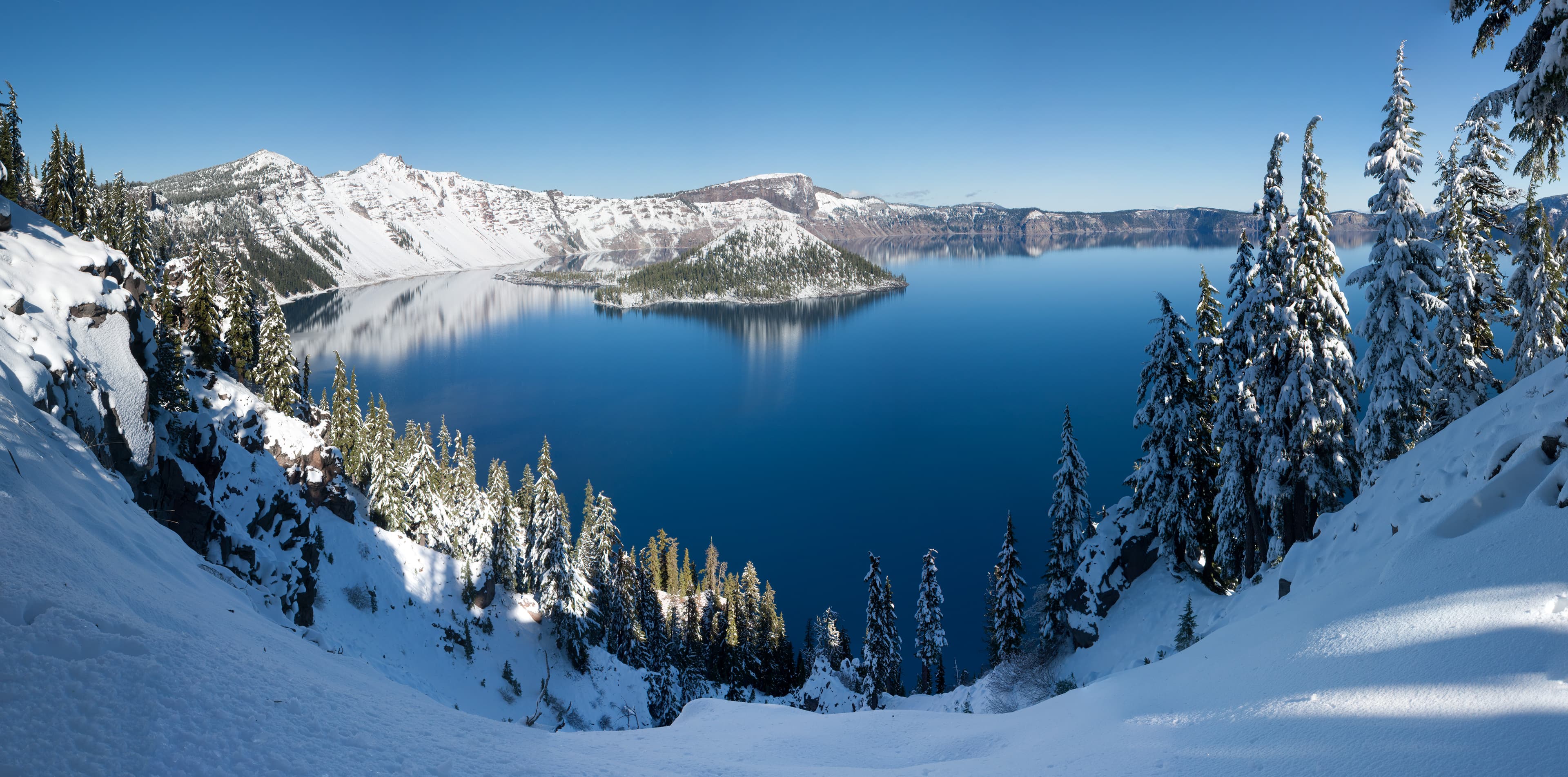
Crater Lake Rim trail, Three Sisters Wilderness, Mount Washington, Mount Jefferson, Timberline Lodge at Mt Hood.
Washington (The Rugged Cascades)
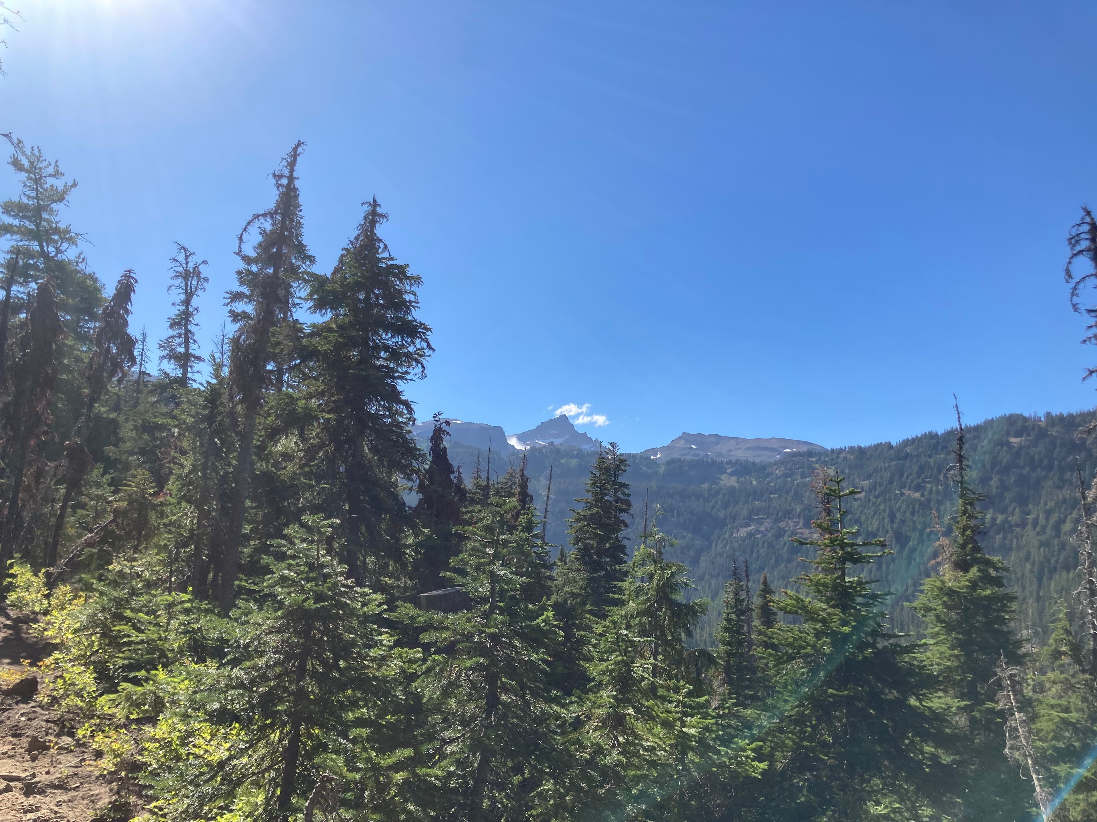
Bridge of the Gods, Goat Rocks Knife's Edge, Mount Rainier vistas, Glacier Peak wilderness, Monument 78 finish.
Nola sortu zure liburua 3 urrats errazetan
Diseinu buruhausterik gabe, gure algoritmoak dena automatikoki muntatzen du.
Konektatu Strava edo kargatu GPX
Zure zati guztiak segundotan kargatzen dira GPS ibilbideekin, altuerekin eta ordutegi zehatzekin.
Sinkronizatu zure mugikorreko argazkiak
Gure algoritmoak argazki bakoitza dagokion mendatean, lakuan edo kanpalekuan kokatzen du automatikoki.
Arakatu 3Dn eta inprimatu
Pertsonalizatu zure azala, ikusi 3D aurrebista birtuala eta jaso zure liburua etxean inprimatuta.
Zure mendi-ibilaldi liburuari buruz jakin beharreko guztia
Zure PCT-(e)k leku berezia merezi du zure egongelan
Konektatu zure Strava kontua edo kargatu GPX klik bakarrean zure liburua doan ikusteko.