
Annapurna Circuit
Around the Annapurna massif and over Thorong La: your circuit, day by day, in a printed book.
100 mi
(160 km)
12–18 days
Thru-hike completo
Thorong La (17,769 ft / 5,416 m)
Tus meses de esfuerzo merecen más que perderse en la memoria de un móvil
Rice terraces, the Manang valley, the crossing of Thorong La at 5,416 m, then Muktinath and the Kali Gandaki. Depending on where you start and how much road you skip, the circuit runs from about 160 to 230 km. Your book follows your own tracks, tea house after tea house.
- The pass day as its own chapter
- Tea house by tea house, with your notes
- Your photos placed on the right day automatically
- Side trips welcome: Tilicho Lake, Ice Lake, Poon Hill
Los grandes capítulos de tu Annapurna Circuit
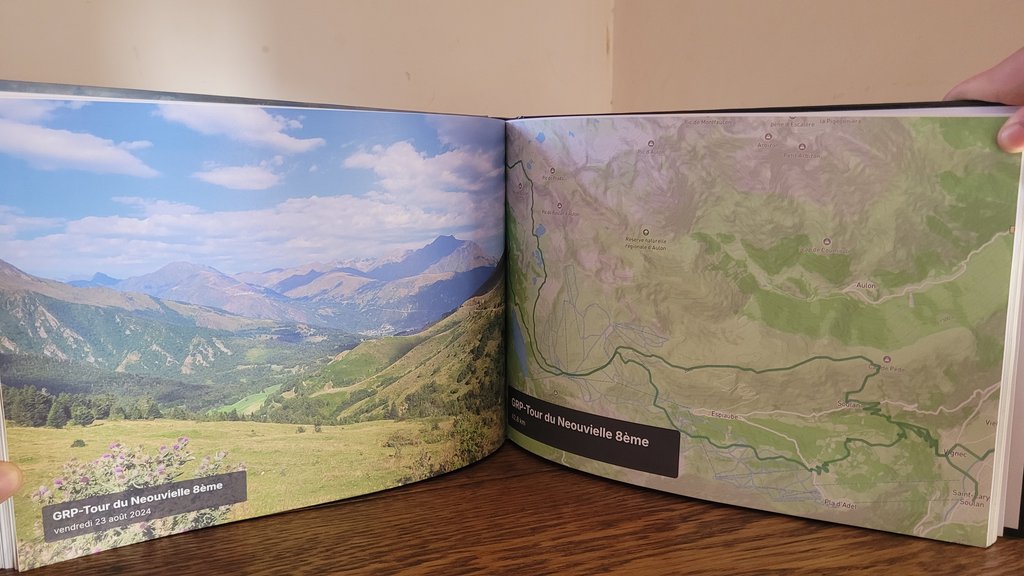
Cada sección se organiza automáticamente en capítulos ilustrados con tus rutas GPS y fotos geolocalizadas.
Marsyangdi valley
Rice terraces, suspension bridges and waterfalls on the way up the valley.
Manang & acclimatisation
Pisang, the views of Annapurna II and III, rest days around Manang.
Thorong La
Thorong Phedi or High Camp, the crossing at dawn, the descent to Muktinath.
Kali Gandaki
The windy valley between Dhaulagiri and the Annapurnas, Marpha and its apples.
Cómo crear tu libro en 3 sencillos pasos
Cero complicaciones de diseño, nuestro algoritmo inteligente lo ensambla todo automáticamente.
Conecta Strava o importa tus GPX
Todas tus etapas se recuperan con sus rutas GPS, altitudes y marcas de tiempo exactas en segundos.
Sincroniza las fotos de tu smartphone
Nuestro algoritmo espaciotemporal sitúa cada foto en el collado, lago o campamento exacto según la hora y la posición.
Hojea en 3D & Imprime
Personaliza tu portada, disfruta de la vista previa virtual en 3D y recibe tu obra de arte impresa en casa.
Todo lo que necesitas saber sobre tu libro de gran travesía
Tu Annapurna Circuit merece un lugar de honor en tu salón
Conecta tu cuenta Strava o importa tus archivos GPS en 1 clic para ver tu libro virtual gratis al instante.