
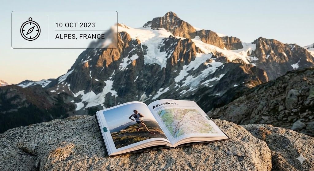
Larapinta Trail
Along the West MacDonnell Ranges to Mount Sonder: your Larapinta in a printed book.
139 mi
(223 km)
12–20 days (12 sections)
Thru-hike completo
Mount Sonder (4,528 ft / 1,380 m)
Tus meses de esfuerzo merecen más que perderse en la memoria de un móvil
From the Alice Springs Telegraph Station to the summit of Mount Sonder (Rwetyepme), 223 km along the ridges of the West MacDonnell Ranges. Red rock, gorges, waterholes and the sunrise on Mount Sonder. Twelve sections, one book: every day gets its map, its profile and your photos.
- One chapter per section
- The Mount Sonder sunrise printed large
- End-to-end or section by section, over several trips
- Printed and shipped for free to Australia
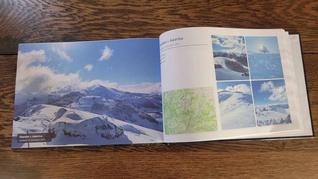
Los grandes capítulos de tu Larapinta
Cada sección se organiza automáticamente en capítulos ilustrados con tus rutas GPS y fotos geolocalizadas.
Alice Springs to Standley Chasm
The Telegraph Station, Simpsons Gap and the narrow walls of Standley Chasm.
Brinkley Bluff & Hugh Gorge
One of the great ridge walks, then the gorges towards Ellery Creek.
Ormiston Gorge & Mount Sonder
Serpentine Gorge, Ormiston Gorge, Finke River and the sunrise climb of Mount Sonder.
Cómo crear tu libro en 3 sencillos pasos
Cero complicaciones de diseño, nuestro algoritmo inteligente lo ensambla todo automáticamente.
Conecta Strava o importa tus GPX
Todas tus etapas se recuperan con sus rutas GPS, altitudes y marcas de tiempo exactas en segundos.
Sincroniza las fotos de tu smartphone
Nuestro algoritmo espaciotemporal sitúa cada foto en el collado, lago o campamento exacto según la hora y la posición.
Hojea en 3D & Imprime
Personaliza tu portada, disfruta de la vista previa virtual en 3D y recibe tu obra de arte impresa en casa.
Todo lo que necesitas saber sobre tu libro de gran travesía
Tu Larapinta merece un lugar de honor en tu salón
Conecta tu cuenta Strava o importa tus archivos GPS en 1 clic para ver tu libro virtual gratis al instante.