
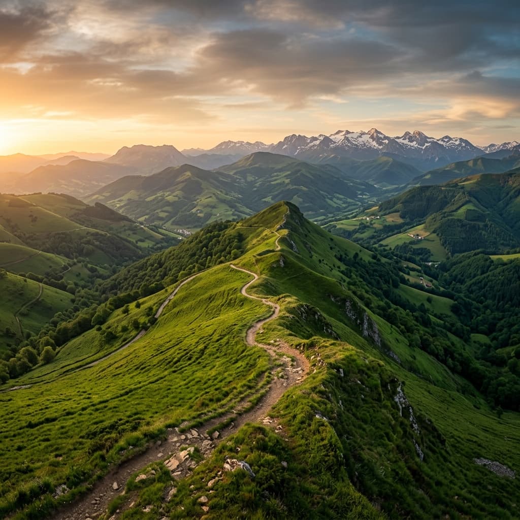
MTB: The Edge of Europe (Basque Country & Navarre)
An exceptional 11-day journey along the European Continental Divide. From Burgos to the Pyrenees, explore the wild heart of Cantabria and Navarre through panoramic ridges and lush forests.
Don’t let your memories fade away
After traveling miles on the MTB: The Edge of Europe (Basque Country & Navarre), your photos deserve better than a forgotten folder. AdvenBook automatically turns your GPS stats and best shots into a premium adventure book.
Automatic Maps
We fetch your Strava or GPX tracks to map the exact route of your VTT-FIL-EUROPE-BASQUE in your book.
Premium Hardcover Design
A durable hardcover book, printed in premium color on white coated paper, built to last.
Panoramic Photos & Trailbook
Highlight your high-mountain landscape photos, mountain passes, and elevation profiles in a custom trailbook keepsake.
Expert Field Report
Great Basque Country MTB Crossing: The Practical Guide (GTBB)
TL;DR
An epic 230km journey with 9000m of positive elevation gain across the Basque mountains. From Saint-Palais to Hendaye, master this legendary route step by step.
Guide to the Great Basque Country MTB Crossing: A Unique Immersion
The Great Basque Country MTB Crossing (GTBB) connects the Pyrenean foothills to the Atlantic Ocean. This 215 to 240-kilometer route, depending on the options, imposes nearly 9,000 meters of positive elevation gain. It is one of the wildest and most demanding MTB rides in France.
This practical guide helps you master its technical and logistical aspects, while preparing your most beautiful memories for your future AdvenBook photo book.
The Topographical Ecosystem: Between Mountain and Ocean
Immediate proximity to the Bay of Biscay creates steep slopes right from sea level. The crossing is a continuous succession of short but steep climbs and technical descents.
Summary of Physical Data
| Performance Indicator | Reference Value | Observations | | :---- | :---- | :---- | | Total Distance | 228.7 km | Varies depending on route options | | Cumulative Positive Elevation | 9,124 m | Equivalent to climbing Mount Everest | | FFC Technical Difficulty | 5 / 5 | Sections classified as V4+ (technical) | | Number of Stages | 8 stages | Average of 30km per day |
Terrain Type
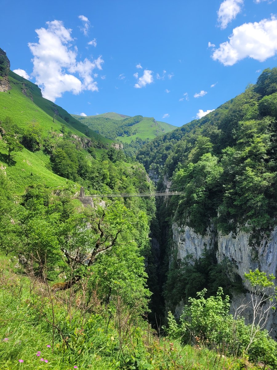
The GTBB is a "real MTB" route. More than a quarter of the route is done on foot (pushing or carrying the bike). This is an essential factor to document in your travel book, showing the ruggedness and authenticity of the effort.
The Route Step by Step
1. From Saint-Palais to Saint-Jean-Pied-de-Port (Lower Navarre)
A start in the gentle but demanding hills of Amikuze. Saint-Jean-Pied-de-Port, a fortified medieval town, offers historical and spiritual immersion at the foot of the main mountain ranges.
2. The Urepel and Baïgorry Valleys
The transition to the high mountains is immediate. The formidable ascent of Munhoa (over 1,000 m altitude) often requires carrying the bike. Here, ferns replace the forest and offer grandiose alpine panoramas facing the Iparla ridges.
3. The Border Ridges: From Bidarray to Sare
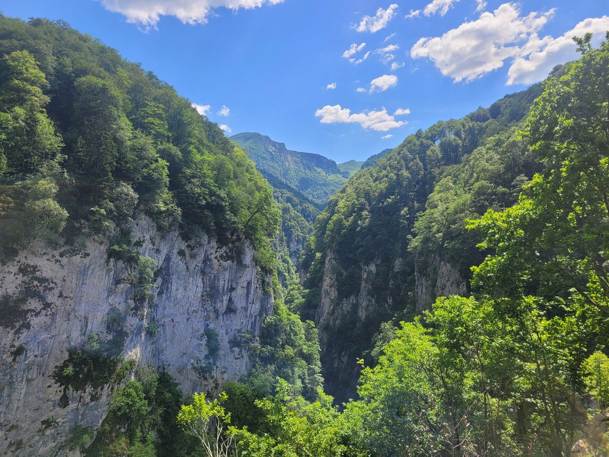
As you get closer to the ocean, the Atlantic influence cools the air. The route passes through the Méhatché pass and the magnificent Gorospil ridges. Sare, one of the most beautiful villages in France, offers a welcome stop.
4. The Arrival in Hendaye
A tiring final stage over the Xoldokogaina. The final descent to the Hendaye beach and the traditional swim reward the effort of this complete crossing.
Technical Advice and Gear
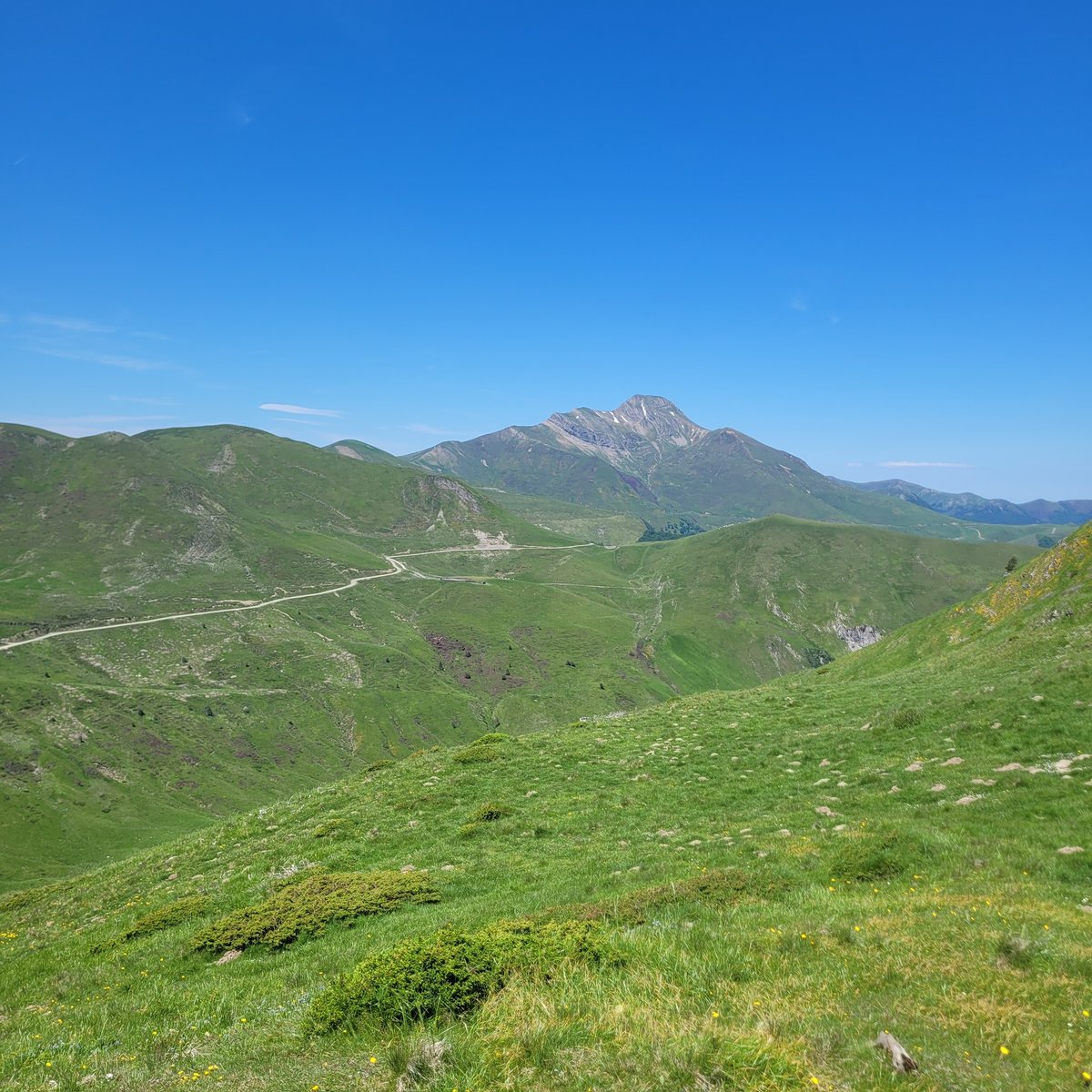
The Basque terrain alternates between slippery sandstone slabs, rocky tracks, and clay mud. Choosing the right gear is crucial.
| Component | Recommended Choice | Technical Reason | | :---- | :---- | :---- | | MTB | Full-suspension (100-120mm) | Essential for comfort and grip | | Drivetrain | 12-speed (e.g., 30 x 52t) | To climb slopes regularly exceeding 15% | | Tires | Reinforced 2.30 width | Protection against sharp rocks | | Seatpost | Dropper post | Essential for negotiating steep descents |
Logistics and Safety
- Water: Drinkable sources are rare on the ridges. Plan for at least 2 to 3 liters.
- Navigation: GPS track is essential (bike computer or smartphone with offline maps), as fog can quickly hide trail markings.
Nature and Culture: A Sensory Immersion
Wildlife
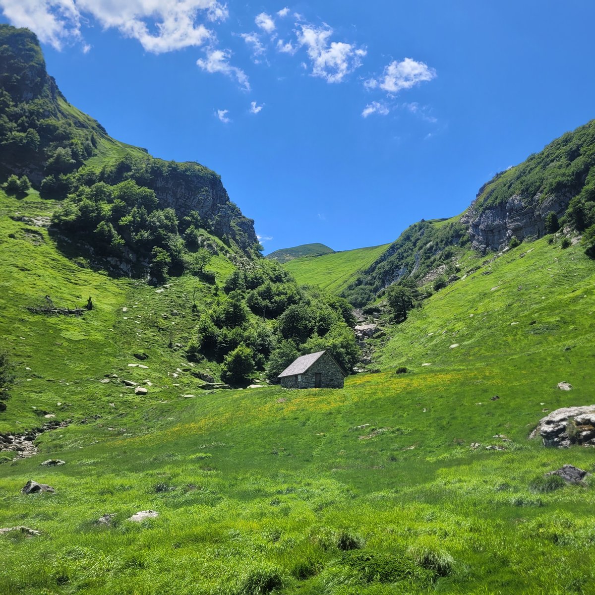
You will share the territory with Pottoks (small wild horses), Betijus (red cows), and Manech sheep. In the sky, the flight of griffon vultures above the Iparla ridges reinforces the wild atmosphere of the route.
Local Gastronomy
Each stage is an opportunity to discover authentic products:
- Sheep cheese (Ossau-Iraty) served with black cherry jam.
- The famous Basque Cake filled with cream or cherry, a perfect calorie boost.
- A piperade or Kintoa ham to replenish your energy stores.
Tips for Your Adventure Photos
To make your AdvenBook a success, take care of your shots despite the fatigue:
- Play with the fog: The Basque fog (sirimiri) creates dreamy contrasts perfect for your photos.
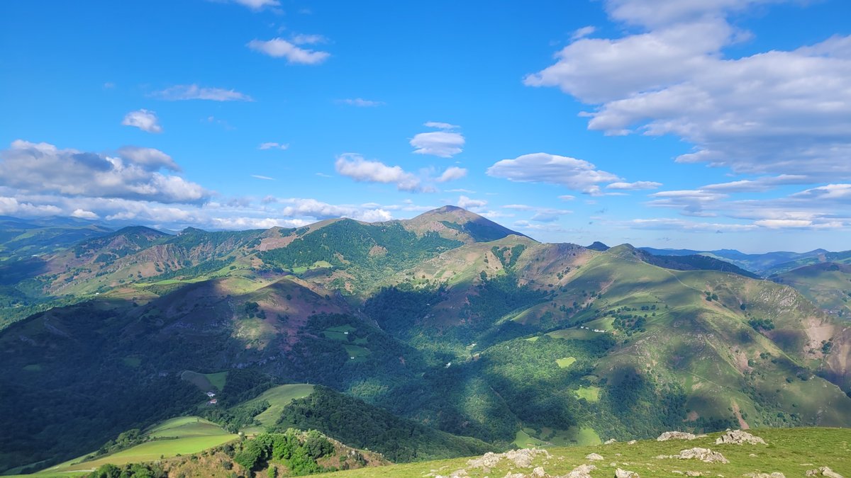
- Vary the angles: Shoot close to the ground to emphasize the slope steepness and landscape scale.
- Capture the motion: Frame the rider on one side (rule of thirds), leaving space in front of them to show progression.
- Capture details: The sheep bells, the texture of sandstone, or the smile at the finish line.
Your AdvenBook Adventure Book
Once the crossing is complete, AdvenBook turns your GPS tracks and photos into a premium photo book:
- Automatically generated maps from your Strava or GPX activity.
- Key statistics (distances, elevation profiles) highlighted.
- Minimalist layout to let your best photos shine.
Conclusion
The Great Basque Country MTB Crossing is a memorable adventure. By immortalizing your memories in a high-end book, you keep a tangible record of every pass climbed and the ocean finally reached.
Medical Disclaimer
This article shares physiological research and personal experiences for informational purposes only. **This does not constitute medical advice.** Always consult a doctor before undertaking a high-altitude climb, especially if you have an underlying health condition. In the event of symptoms of Acute Mountain Sickness (AMS), the only safe solution is immediate descent.