
Tour du Mont-Blanc (TMB) by Fitness Level: Duration, Stages, Difficulty, and Your Keepsake Book
TL;DR
The Tour du Mont-Blanc (TMB) covers roughly 170 km and 10,000 meters of elevation gain across France, Italy, and Switzerland. Depending on pace and pack weight, the circuit takes between 4 and 11 days. With AdvenBook, combine your Strava GPS tracks, elevation profiles, and glacier photography into an exceptional hardcover book.
Tour du Mont-Blanc (TMB): How Many Days Do You Really Need?
Hiking the Tour du Mont-Blanc (TMB) is one of the world's premier alpine adventures: 170 kilometers (105 miles) and nearly 10,000 meters (32,800 ft) of elevation gain, threading through France, Italy, and Switzerland.
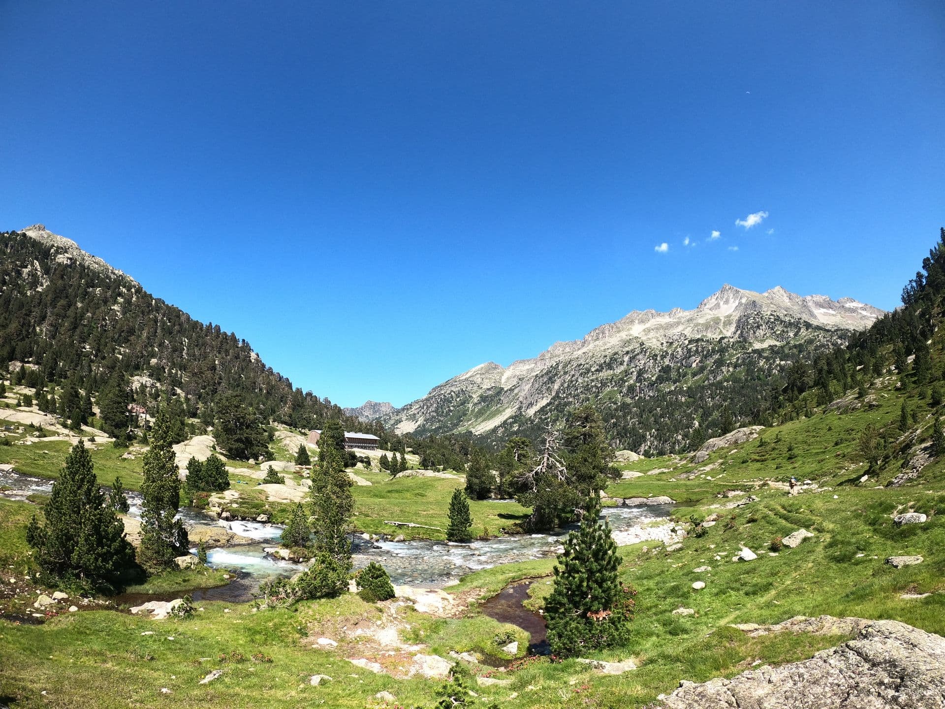
From the high balcony trail of the Aiguilles Rouges facing the tumbling seracs of the Bossons glacier, through the wild Italian Val Veny beneath Mont Blanc's southern granite walls, to the peaceful Swiss pastures of Val Ferret, the TMB is a bucket-list trek for mountain enthusiasts worldwide.
Whether you plan a relaxed 11-day refuge-to-refuge journey or an aggressive 5-day fast-packing mission, your pacing and preparation dictate the entire experience.
TMB Duration: How Many Days Based on Your Profile?
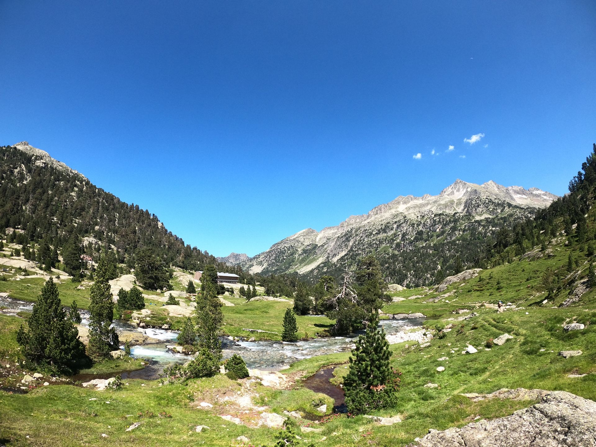
The classic route is traditionally hiked counter-clockwise (starting from Les Houches or Chamonix). This direction offers the most dramatic frontal views of the hanging glaciers and towering peaks.
| Duration | Hiker Profile | Hours / Day | Rhythm & Logistics |
|---|---|---|---|
| 9 to 11 Days | Classic Trekker | 5h to 7h | 1 official stage / day. Stays at staffed mountain refuges, time for photography and rest |
| 7 to 8 Days | Strong Mountain Hiker | 7h to 9h | 2 to 3 stages combined, crossing scenic high-altitude alpine variants |
| 4 to 6 Days | Fast-Hiking & Trail Runner | 8h to 11h | Ultra-light pack (< 6 kg), 30 to 40 km per day, 5:00 AM starts |
| < 4 Days | Ultra-Endurance Runner | 12h+ | UTMB race format: Extreme endurance and physical conditioning required |
The 11 Classic Stages of the Tour du Mont-Blanc (Counter-Clockwise)
Here is the authoritative day-by-day itinerary to help structure your trek:
1. Les Houches → Les Contamines-Montjoie (via Col de Voza)
- Distance: 16 km (10 mi) • Elevation: +650 m / -650 m • Time: 5h00
- Gentle warm-up through the alpine meadows of Val Montjoie with views of the Bionnassay glacier.
2. Les Contamines → Refuge de la Croix du Bonhomme
- Distance: 12 km (7.5 mi) • Elevation: +1,300 m / -50 m • Time: 5h30
- Follow the ancient Roman road, ascending Col du Bonhomme (2,329 m) and Col de la Croix du Bonhomme (2,479 m).
3. Croix du Bonhomme → Refuge Elisabetta (Entering Italy)
- Distance: 15 km (9.3 mi) • Elevation: +1,000 m / -1,300 m • Time: 5h30
- Descend to Les Chapieux, climb Col de la Seigne (2,516 m, French-Italian border), and descend facing the dramatic Miage and Lex Blanche glaciers in Val Veny.
4. Refuge Elisabetta → Courmayeur
- Distance: 18 km (11.2 mi) • Elevation: +550 m / -1,350 m • Time: 5h30
- Panoramic balcony path high above Lac Combal, climb to Col Chécrouit, and descend into the Italian mountaineering capital of Courmayeur.
5. Courmayeur → Refuge Bonatti (or Rifugio Bertone)
- Distance: 12 km (7.5 mi) • Elevation: +900 m / -150 m • Time: 5h00
- Steep climb to Rifugio Bertone, followed by one of the finest balcony trails in the Alps directly across from the Grandes Jorasses.
6. Refuge Bonatti → La Fouly (Entering Switzerland)
- Distance: 20 km (12.4 mi) • Elevation: +900 m / -1,400 m • Time: 6h30
- Climb the Grand Col Ferret (2,537 m, Italian-Swiss border). Gentle descent through Swiss cow pastures into the village of La Fouly.
7. La Fouly → Champex-Lac
- Distance: 15 km (9.3 mi) • Elevation: +550 m / -650 m • Time: 4h30
- Relaxed transitional valley walk following the Drance river, passing traditional Swiss timber chalets to the glacial lake of Champex.
8. Champex-Lac → Col de la Forclaz (or Trient)
- Distance: 16 km (10 mi) • Elevation: +750 m / -700 m • Time: 5h00
- Standard route via the pastures of Bovine with sweeping vistas over the Rhône Valley and Martigny.
9. Trient → Tre-le-Champ (Returning to France)
- Distance: 14 km (8.7 mi) • Elevation: +1,050 m / -900 m • Time: 5h30
- Ascent to Col de Balme (2,191 m, Swiss-French border) offering the first full view down the Chamonix valley and the summit of Mont Blanc.
10. Tre-le-Champ → Refuge La Flégère (via Lac Blanc)
- Distance: 9 km (5.6 mi) • Elevation: +1,100 m / -450 m • Time: 4h30
- Ascend via the famous metal ladders of the Aiguilles Rouges, reaching the turquoise waters of Lac Blanc (2,352 m) before traversing to La Flégère.
11. La Flégère → Les Houches (via Le Brévent)
- Distance: 17 km (10.5 mi) • Elevation: +750 m / -1,550 m • Time: 6h30
- Climb to the summit of Le Brévent (2,525 m) for an awe-inspiring view of the Mont Blanc massif, followed by the grand final descent back to Les Houches.
How Difficult is the Tour du Mont-Blanc?
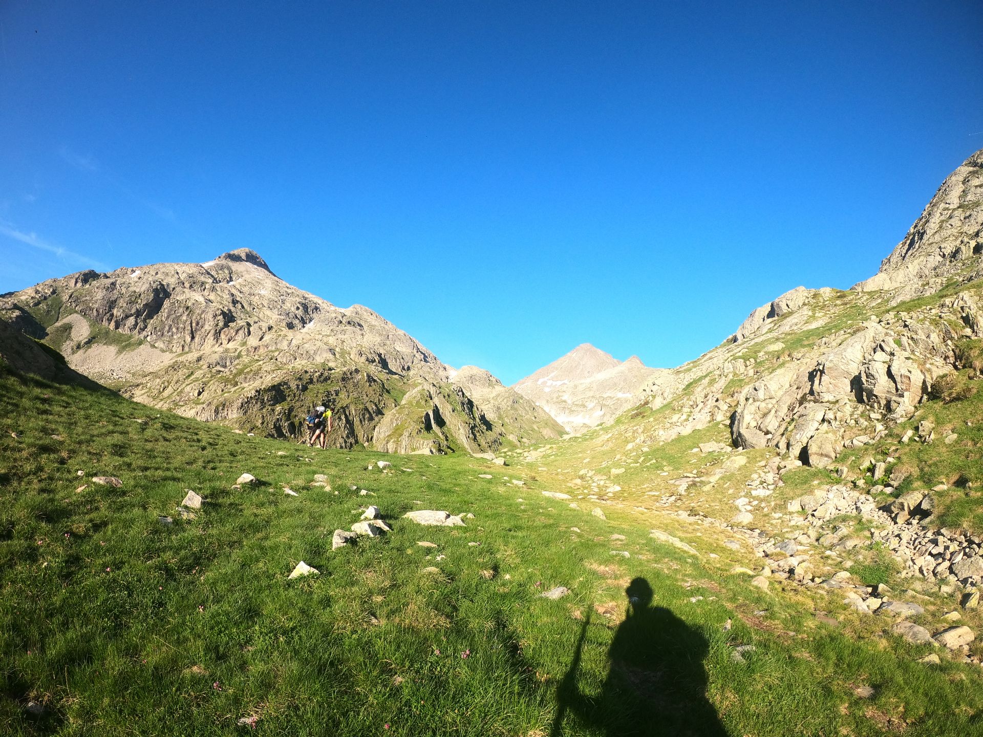
The Tour du Mont-Blanc difficulty is primarily an endurance and elevation challenge rather than a technical rock climbing route:
- Non-Technical Trails: The standard route follows well-maintained, clear mountain paths. No technical mountaineering equipment (ropes or harnesses) is required on the main trail.
- Elevation Accumulation: Climbing and descending 10,000 vertical meters over multiple consecutive days takes a toll on knees, quadriceps, and feet. Sturdy trekking poles and prior elevation training are vital.
- High Alpine Variants (Fenêtre d'Arpette & Col des Fours): The variant over the Fenêtre d'Arpette (2,665 m) crosses steep boulder scree and lingering snowfields. It demands solid scrambling balance and should only be undertaken in clear weather.
4 Essential Rules for a Successful TMB
- Book Refuges Early: Refuges along the TMB fill up months in advance for the peak July-August window. Reserve well ahead via the official TMB huts association website.
- Early Season Snowfields: In June and early July, high passes like Col de la Seigne and Grand Col Ferret retain steep snowfields. Micro-spikes and poles are strongly recommended.
- Keep Pack Weight Under 8 kg: If staying half-board in refuges, your pack should not exceed 7-8 kg (15-17 lbs). Every excess kilo adds punishing strain on steep descents.
- Currencies & Cross-Border Logistics: You will cross three nations. Keep Swiss Francs (CHF) or a zero-fee credit card ready for the Swiss portion in Valais.
Why immortalize your Tour du Mont-Blanc in an AdvenBook?
170 kilometers of mountain grit, golden sunrises on the Grandes Jorasses, shared laughter over evening dinners in mountain refuges, and the pride of completing the loop in Chamonix: this journey deserves a permanent physical home on your bookshelf.
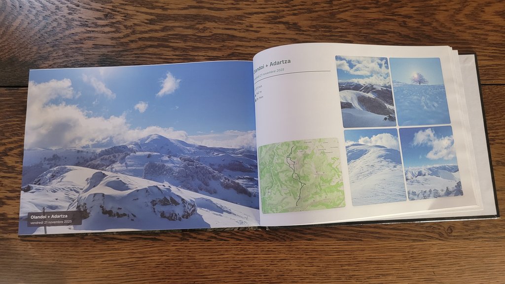
With AdvenBook, transform your GPS tracks and photos into a stunning custom-printed hiking & trek journal or a dedicated Strava photo book:
- Seamless 3-Country 3D Master Map: Combine your 7 to 11 daily GPS tracks onto one high-resolution vector map spanning France, Italy, and Switzerland.
- Stage-by-Stage Elevation Profiles: Automatic elevation graphics, daily split times, and mountain pass altitudes.
- Full-Spread Landscape Photography: Printed on premium 200g fine-art paper in a sturdy 3 mm Hardcover binding without center-fold loss.
- An Unforgettable Finisher Gift: Want to celebrate a hiking partner or someone who conquered Mont Blanc? Explore our gift ideas for athletes & TMB finishers, available as an instant gift voucher or surprise printed book.

Frequently Asked Questions (FAQ) - Tour du Mont-Blanc Book
How do I combine all my daily TMB GPX tracks into a single book?
Simply connect your Strava account or upload your 4 to 11 daily GPX files to AdvenBook. Our geospatial engine automatically fuses the tracks into a master 3D circuit map and arranges each day into a dedicated chapter.
Can I add personal notes, quotes, and refuge memories?
Yes! You can add custom text, daily highlights, weather details, and anecdotes from each mountain hut throughout the book.
Which binding is best for a multi-day trek book?
Our Premium Hardcover (3 mm rigid board with sewn binding) is the gold standard for an elegant coffee-table book. For a lightweight, rugged keepsake that lays completely flat, the 360° Spiral Notebook is a favorite among hikers.
How to create your Tour du Mont-Blanc book in 3 steps
- Import your data: Connect your Strava account or upload your TMB GPX files.
- Add your photos: Select your best shots of glaciers, high passes, and refuge sunsets.
- Customize and receive: Preview your layout, choose your cover style, and receive your printed masterpiece at home with tracked shipping.
👉 Create my Tour du Mont-Blanc hiking journal on AdvenBook
Medical Disclaimer
This article shares physiological research and personal experiences for informational purposes only. This does not constitute medical advice. Always consult a doctor before undertaking a high-altitude climb, especially if you have an underlying health condition. In the event of symptoms of Acute Mountain Sickness (AMS), the only safe solution is immediate descent.

Did you enjoy this story?
Preserve your own journey through Tour du Mont-Blanc (TMB) in a premium adventure photo book.
View Adventure
About the Author
Data explorer and mountain enthusiast, BenSeme founded AdvenBook to transform digital achievements into physical legacies.
Ready to tell your story?
Start your own journey and keep your memories alive forever.
Create my AdvenBook