
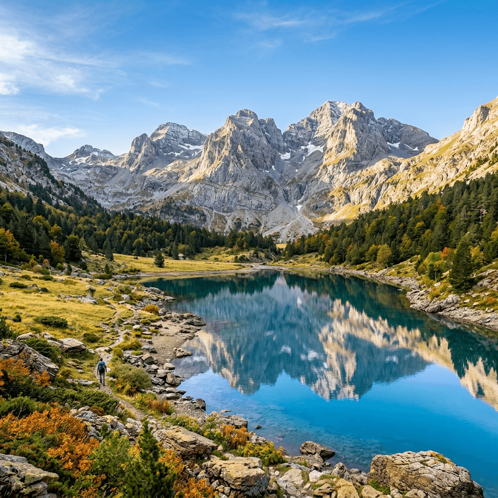
From the first trailhead to the final pass: the official book of your trek.
Whether conquering the rugged GR20, crossing the Pyrenees, or walking the Tour du Mont-Blanc: don't let the memories of high mountain refuges and sunrise summits fade. AdvenBook crafts the definitive logbook of your journey.
So your passes and huts never fade away
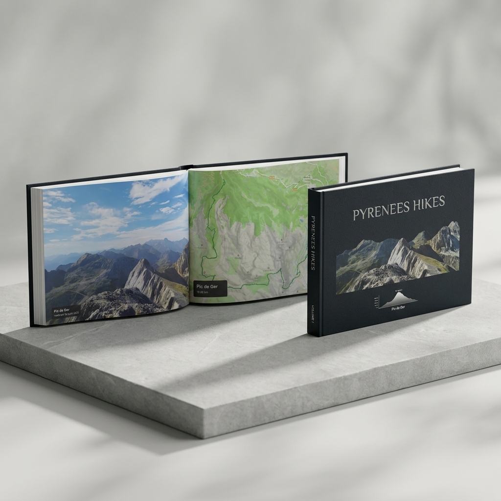
Mountain trails forge unforgettable memories. AdvenBook gathers the terrain you crossed, the real elevation gain and every hut stage in a unique art book.
Elevation Profiles of Mountain Passes and Huts
Clear visual breakdown of altitude gains and losses, high mountain cols, and landmark refuges across every hiking day.
Topographic Trail Cartography
Crisp maps rendered directly from your genuine GPS tracks, highlighting your route against contour lines and mountain massifs.
Authentic Expedition Journal
Choose between an outdoor-ready Wire-O spiral notebook (360° lay-flat) or a luxury hardcover cloth-bound art book for your library.
Ready for your greatest crossings
GR20 Corsica
180 km and 12,000 m of elevation gain across Corsica's granite ridges, from hut to hut.
Tour du Mont Blanc
France, Italy, Switzerland: 170 km around the roof of Europe, with alpine pass profiles.
Stevenson Trail
The GR70 through the Cévennes and the Velay, with your stories and countryside photos.
HRP High Route
From the Atlantic to the Mediterranean, the great wild crossing captured day by day.
Frequently Asked Questions about Trekking Books
Import GPX tracks recorded on your GPS watch (Garmin, Suunto, Coros) or hiking apps (AllTrails, Komoot, Strava, Gaia). The book automatically sorts each day chronologically.
Give your alpine trek the book it deserves
Import your GPX files and view your full custom layout for free with zero commitment.
Start My Trek BookThe book of your long-distance hike