
The Stevenson Trail
The full track, and the book of your journey.
228 km from Le Monastier-sur-Gazeille to Saint-Jean-du-Gard, in 9 stages. Download the track, or tick your stages: your book starts with the route already drawn, all that's left is your photos.
Full track, 9 stages, with elevation.
The 9 stages
Distances measured on the OpenStreetMap track, climb computed from IGN elevation data. Many walkers split the longest stages in two.
The full waymarked trail runs from Le Puy-en-Velay to Alès (272 km). This track follows Stevenson's historic route, from Le Monastier-sur-Gazeille to Saint-Jean-du-Gard.
Tick the stages you walked (or will walk), then create your book.
- 23.8 km · 853 m of climb
Where Stevenson and Modestine set off on 22 September 1878. Down to the Loire at Goudet, below the ruins of Beaufort castle, then back up onto the plateau to Lake Bouchet, set in an old volcanic crater.
Stage GPX - 27.1 km · 375 m of climb
The wide-open Velay, between fields and stone walls, to Pradelles perched above the Allier. Then down to Langogne and into Lozère.
Stage GPX - 28.5 km · 746 m of climb
The forests and moors of the Gévaudan, land of the Beast. Near Fouzilhac Stevenson got lost one night. Through Cheylard-l'Évêque, then on to Luc below its ruined castle.
Stage GPX - 15.2 km · 391 m of climb
A short stage along the Allier valley, through Laveyrune, to the railway village of La Bastide-Puylaurent.
Stage GPX - 30 km · 946 m of climb
Up to the abbey of Notre-Dame-des-Neiges, where Stevenson stopped with the Trappist monks. Then Chasseradès and the Montagne du Goulet, where the Lot river rises.
Stage GPX - 19.5 km · 656 m of climb
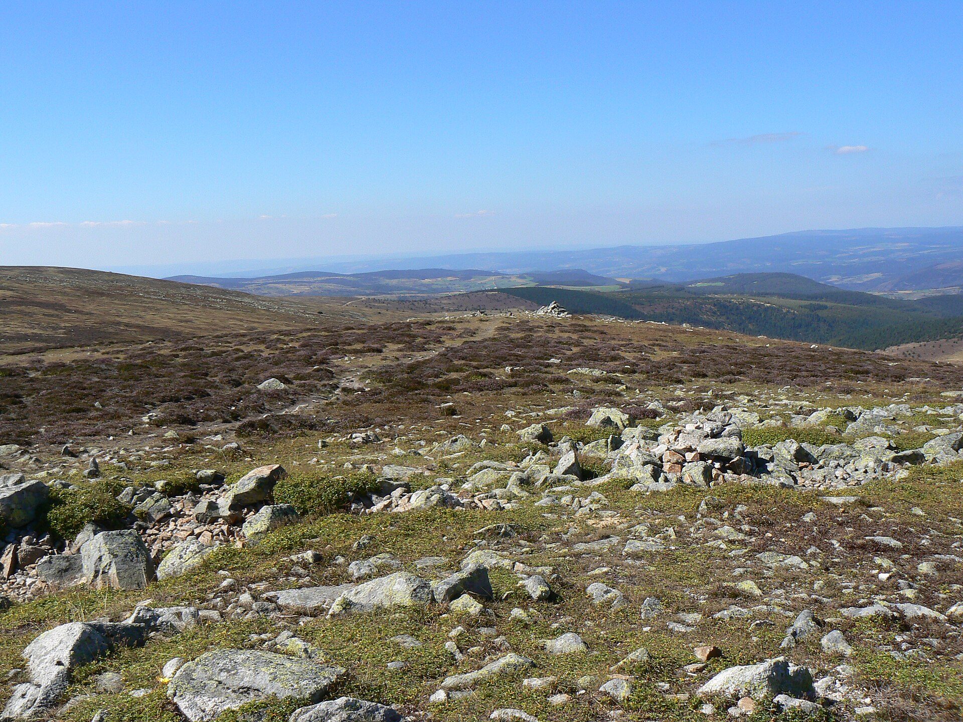
The roof of the trail: Mont Lozère and the Pic de Finiels, 1,699 m. A long descent to the Tarn and Le Pont-de-Montvert, where the Camisard war began in 1702.
Stage GPX - 29.2 km · 787 m of climb
Across the Montagne du Bougès, along ridges and through forests, then down to Florac at the foot of the Causse Méjean.
Stage GPX - 32.4 km · 876 m of climb
Up the Mimente valley to Cassagnas, then along the ridges into the chestnut-covered Cévennes.
Stage GPX - 22.2 km · 728 m of climb
Last stage through Saint-Étienne-Vallée-Française and the Col Saint-Pierre, to Saint-Jean-du-Gard, where Stevenson had to part with Modestine.
Stage GPX
No account needed to see your book: it is created right away. You only sign up when you add your photos.
The route already drawn
The map and elevation of every stage are in the book from the start. Nothing to import.
Your photos, your words
Add your photos to each stage and a few lines: someone you met, a guesthouse, the rain on Mont Lozère. Some pages stay blank for handwriting.
Three formats
Spiral notebook, softcover or hardcover. Printed in colour, delivered to your door.
Who looks after the trail? The association "Sur le chemin de Robert Louis Stevenson"