
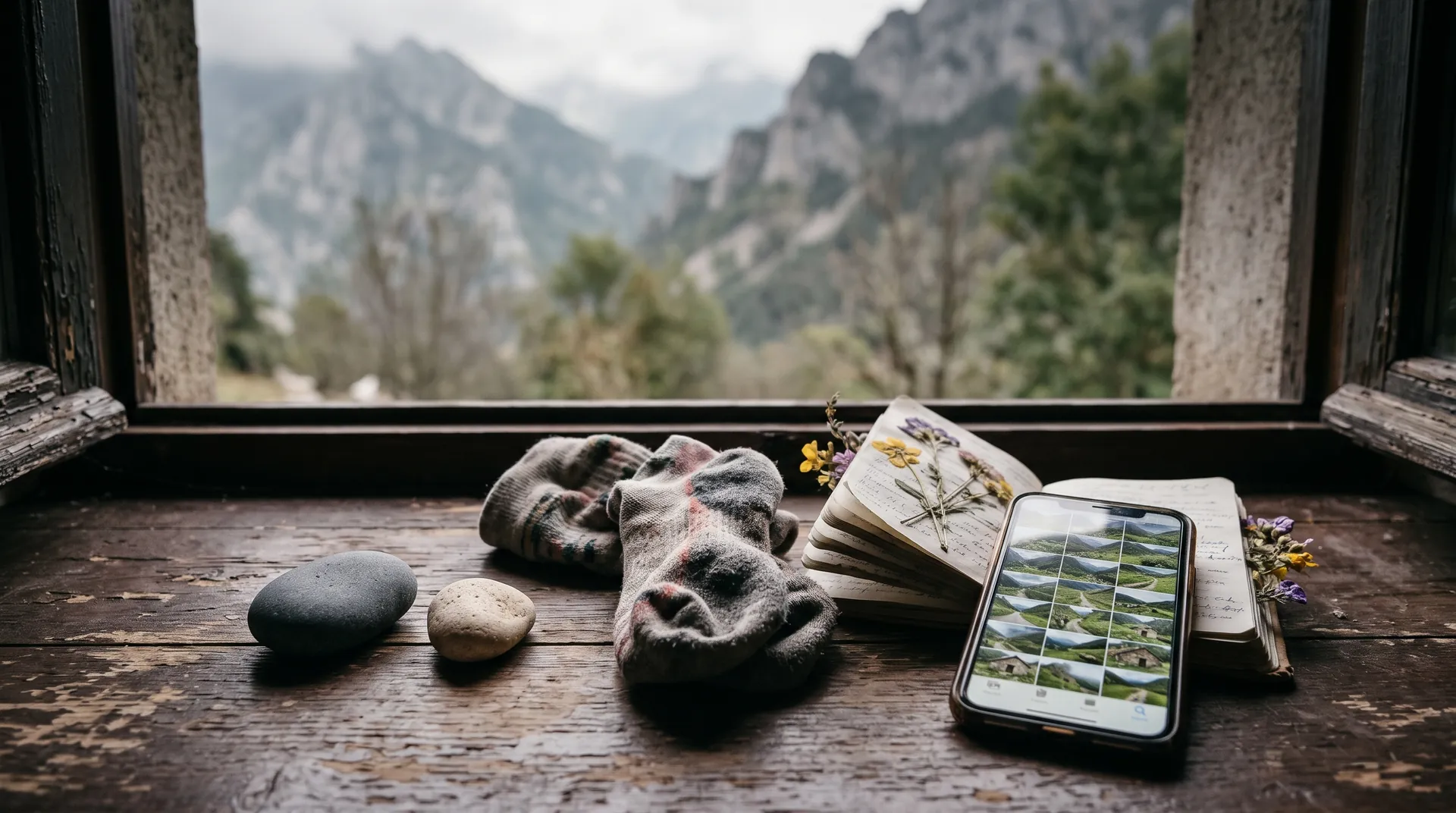
GR10, in a real book.
The crossing of the Pyrenees on the French side, from Hendaye on the Atlantic to Banyuls-sur-Mer on the Mediterranean. Between 900 and 1,100 km depending on the source, and more than 50,000 m of climbing. Allow about six weeks to walk it all.
No Strava? Upload your GPX files (Komoot, Garmin, your watch)The preview is free.
The trail, the way you lived it
WhenIn summer: the trail climbs above 2,000 m
- 1Hendaye
- 2Saint-Jean-Pied-de-Port
- 3Cauterets
- 4Bagnères-de-Luchon
- 5Canigou
- 6Banyuls-sur-Mer
How the book is laid out
One stage, one spread: the day's route, the photos, a few words. A crossing of several weeks fills a book on its own.
- 1
Before you set off
The pack, the preparation, the trip to the trailhead. A few pages to remember where you started from.
- 2
Day after day
Each stage gets its spread: the day's route, your photos, the hut or the campsite, the people you met, a few words.
- 3
Over one year or several
Walking one section a year? The book brings your sections together, year after year, all the way to the end.
What's inside the book
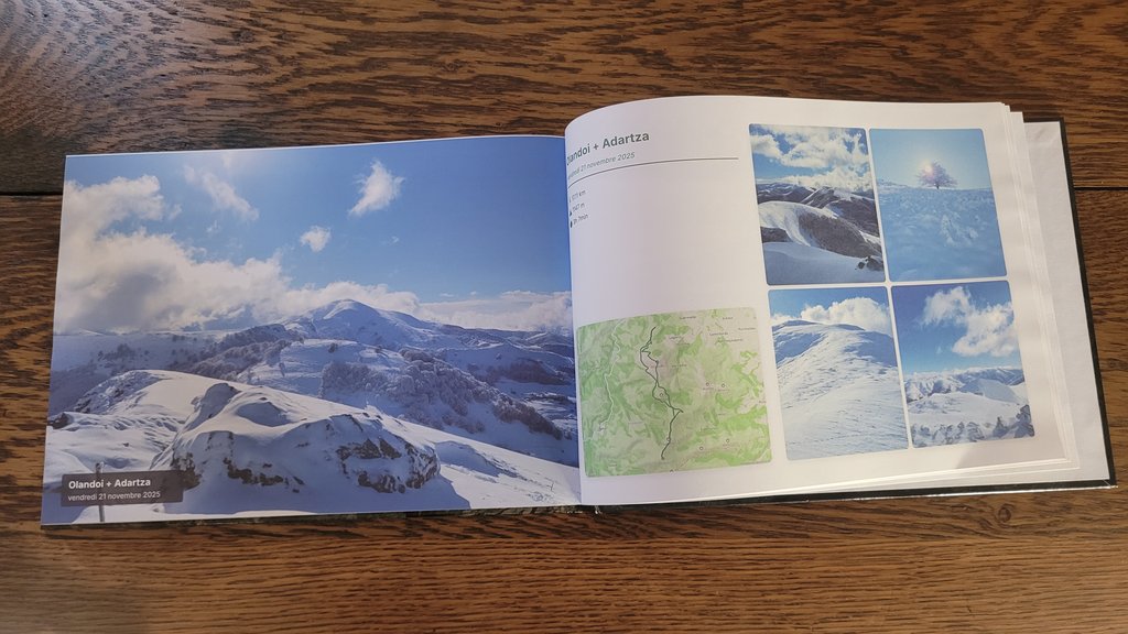
Each day's route
The map and elevation profile of every stage, imported from Strava or a GPX file (Komoot, Garmin, your watch).
The photos from your phone
The views, the huts, the people you met, sorted with the right day.
Your huts and campsites
Where you slept, who you met, dinner that night. A photo and a few lines.
Your words
Your trail journal, written by you: the tiredness, the weather, the people you met, what you don't want to forget.
In 3 steps
- 1
Connect Strava
Or upload your GPX files: Komoot, Garmin, your watch.
- 2
Pick your walking days
Add your photos and a few words.
- 3
Check the preview
Free, page by page. Only order if you like it.
The other great long-distance trails
Frequently asked questions
I walked it in several trips, over several years.
I don't use Strava.
Are my photos placed on the right day?
Does my whole crossing fit in one book?
How long does it take to arrive?
Your hike deserves its book.
Create the book of my hikeNo Strava? Upload your GPX files (Komoot, Garmin, your watch)AdvenBook is an independent service, not affiliated with the bodies that manage or waymark this trail. The name "GR10" may be a trademark of its owner.