

Annapurna Circuit
Around the Annapurna massif and over Thorong La: your circuit, day by day, in a printed book.
100 mi
(160 km)
12–18 days
Full thru-hike
Thorong La (17,769 ft / 5,416 m)
Don't let your once-in-a-lifetime journey get buried in your smartphone
Rice terraces, the Manang valley, the crossing of Thorong La at 5,416 m, then Muktinath and the Kali Gandaki. Depending on where you start and how much road you skip, the circuit runs from about 160 to 230 km. Your book follows your own tracks, tea house after tea house.
- The pass day as its own chapter
- Tea house by tea house, with your notes
- Your photos placed on the right day automatically
- Side trips welcome: Tilicho Lake, Ice Lake, Poon Hill
The Iconic Sections of the Annapurna Circuit
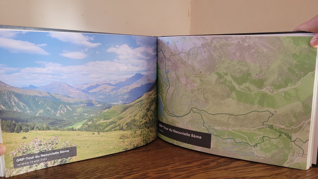
Every section is automatically structured into individual chapters with authentic GPS tracks and geo-tagged summits.
Marsyangdi valley
Rice terraces, suspension bridges and waterfalls on the way up the valley.
Manang & acclimatisation
Pisang, the views of Annapurna II and III, rest days around Manang.
Thorong La
Thorong Phedi or High Camp, the crossing at dawn, the descent to Muktinath.
Kali Gandaki
The windy valley between Dhaulagiri and the Annapurnas, Marpha and its apples.
How it works in 3 easy steps
Zero manual design headache, our smart engine compiles your whole thru-hike automatically.
Connect Strava or import GPX
All your sections are fetched with their GPS tracks, altitudes, and exact timestamps in seconds.
Sync your trail photos
Our spatiotemporal engine correlates each photo to the exact pass, lake, or camp automatically using timestamps and GPS.
Browse in 3D & Print
Customize your title, preview the 3D book, and receive your printed trophy delivered safely at your door.
Everything you need to know about your Annapurna Circuit book
Your Annapurna Circuit Thru-Hike Deserves a Permanent Spot on Your Coffee Table
Connect your Strava account or import GPX in 1 click to preview your virtual book for free.