
Appalachian Trail (A.T.)
Immortalize your 2,190-mile Appalachian Trail journey into an heirloom book.
2,190 mi
(3,524 km)
+464,000 ft
(+141,400 m)
165 days (5-6 months)
Full thru-hike
Clingmans Dome (6,643 ft / 2,025 m)
Don't let your once-in-a-lifetime journey get buried in your smartphone
Walking from Georgia's Springer Mountain all the way to Maine's Mount Katahdin across 14 US Eastern states is a monumental human feat. Celebrate the camaraderie of trail shelters, the misty blue ridges of the Shenandoahs, and the rugged scramble of the White Mountains in a hardcover fine-art book personalized with your GPS tracks and summits.
- Comprehensive 14-state journey map from Georgia to Maine
- Elevation stats highlighting the Great Smokies and White Mountains
- Automatic photo curation by shelter, state, and trail section
- Delivered worldwide with zero custom friction (printed in the USA)

Tara Dower's Historic Record (40 Days, Southbound)
40 days, 18 hours, 5 minutes•53.7 mi / day (86.4 km / day) • Southbound (SOBO)
On September 21, 2024, American ultra-runner Tara Dower completed the 2,190-mile Appalachian Trail in 40 days, 18 hours, and 5 minutes running Southbound (SOBO) from Mount Katahdin to Springer Mountain. She shattered the overall supported record previously held by Karel Sabbe by more than 13 hours, averaging over 53 miles per day across 14 states and 464,000 feet of climb.
Whatever your pace, duration, or section length: Not everyone is built to chase ultra-endurance world records—and that is the beauty of it! While legends like Tara Dower could fill volumes with their pace, the true soul of the Appalachian Trail lies in your own personal pilgrimage: your trail family, high-pass sunrises, and your own cadence. Every journey deserves its book.
The Iconic Sections of the Appalachian Trail
Every section is automatically structured into individual chapters with authentic GPS tracks and geo-tagged summits.
The Southern Appalachians (GA, NC, TN)
Springer Mountain, Blood Mountain, Great Smoky Mountains National Park, Max Patch bald, Roan Mountain rhododendrons.
Virginia & West Virginia (The Big Ridge)
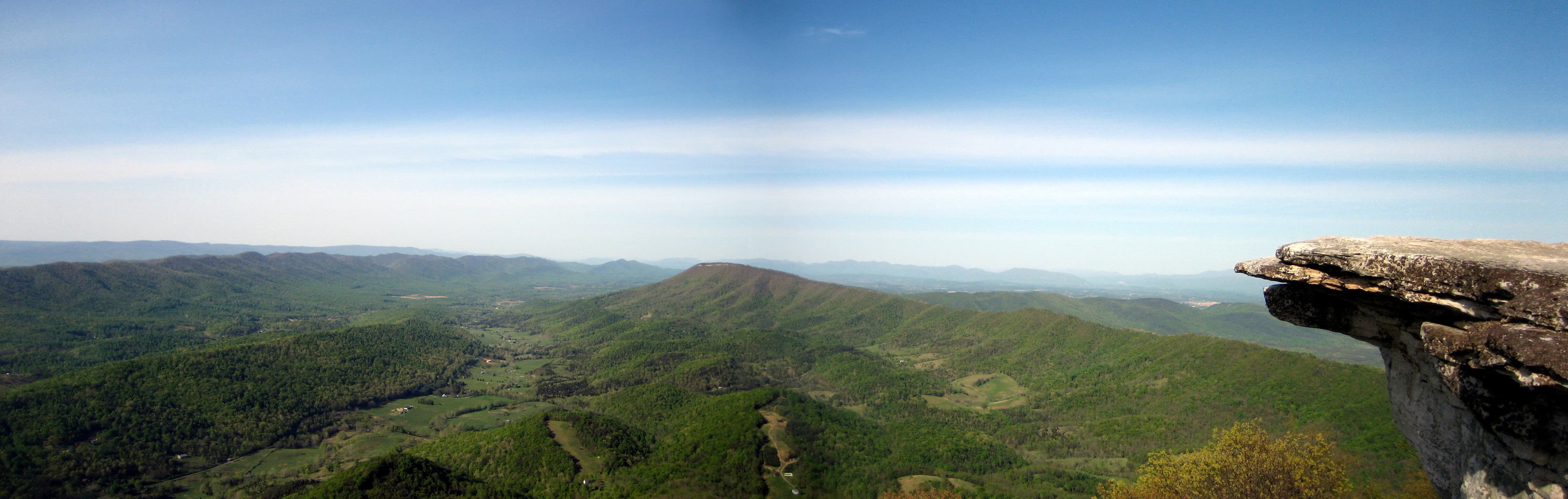
Grayson Highlands wild ponies, McAfee Knob iconic ledge, Tinker Cliffs, Shenandoah National Park, Harpers Ferry (mental half-way point).
The Mid-Atlantic (MD, PA, NJ, NY)
Rocksylvania boulder fields, Delaware Water Gap, Bear Mountain Hudson River crossing, Lemon Squeezer.
New England & The Whites (CT, MA, VT, NH)
Mount Greylock, Vermont Green Mountains, Franconia Ridge, Presidential Range, Mount Washington weather observatory.
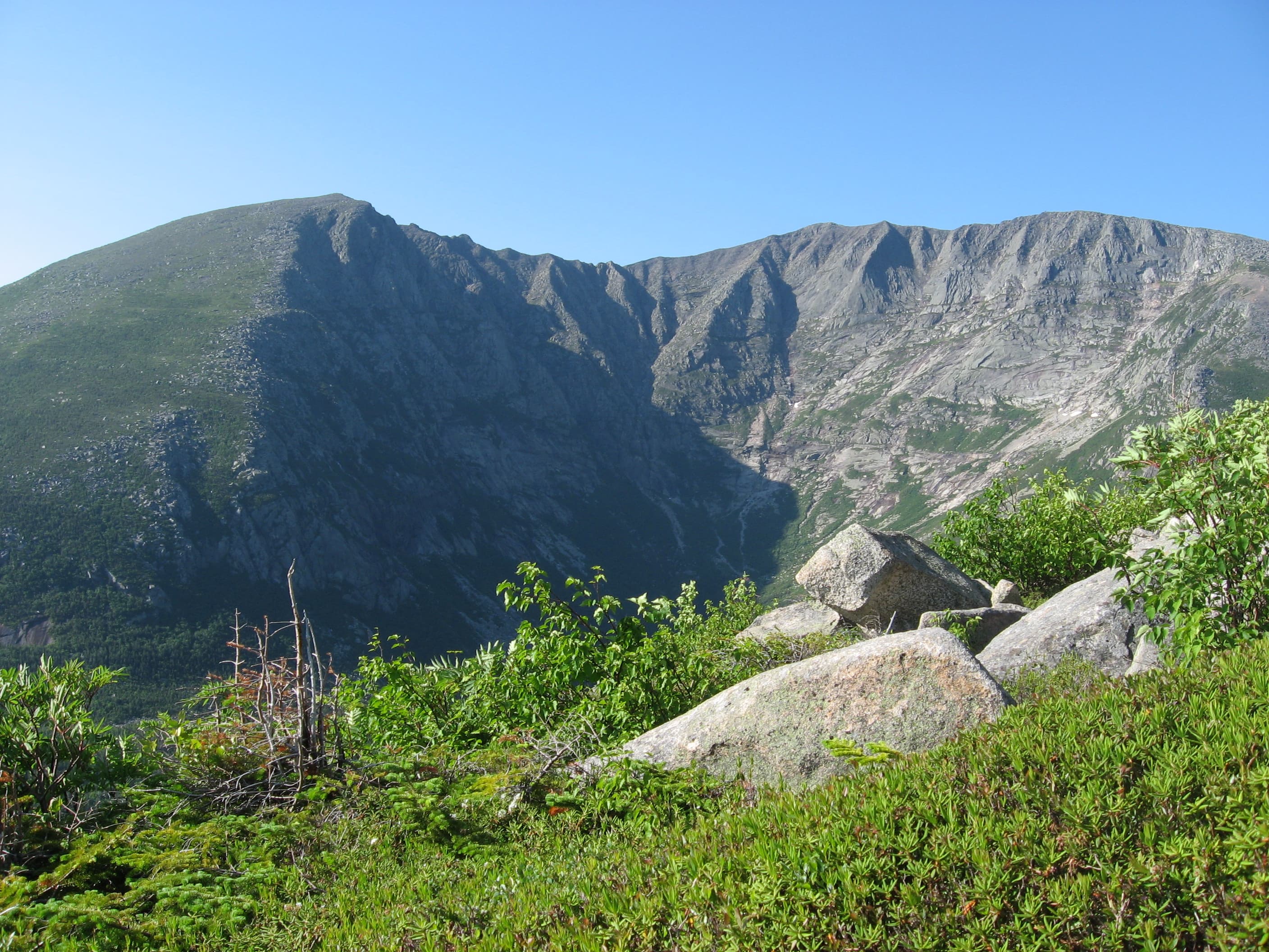
Maine Wilderness & Mount Katahdin
Mahoosuc Notch boulder scramble, 100-Mile Wilderness, Rainbow Lake, Baxter State Park, Baxter Peak summit finish.
How it works in 3 easy steps
Zero manual design headache, our smart engine compiles your whole thru-hike automatically.
Connect Strava or import GPX
All your sections are fetched with their GPS tracks, altitudes, and exact timestamps in seconds.
Sync your trail photos
Our spatiotemporal engine correlates each photo to the exact pass, lake, or camp automatically using timestamps and GPS.
Browse in 3D & Print
Customize your title, preview the 3D book, and receive your printed trophy delivered safely at your door.
Everything you need to know about your Appalachian Trail book
Your Appalachian Trail Thru-Hike Deserves a Permanent Spot on Your Coffee Table
Connect your Strava account or import GPX in 1 click to preview your virtual book for free.