
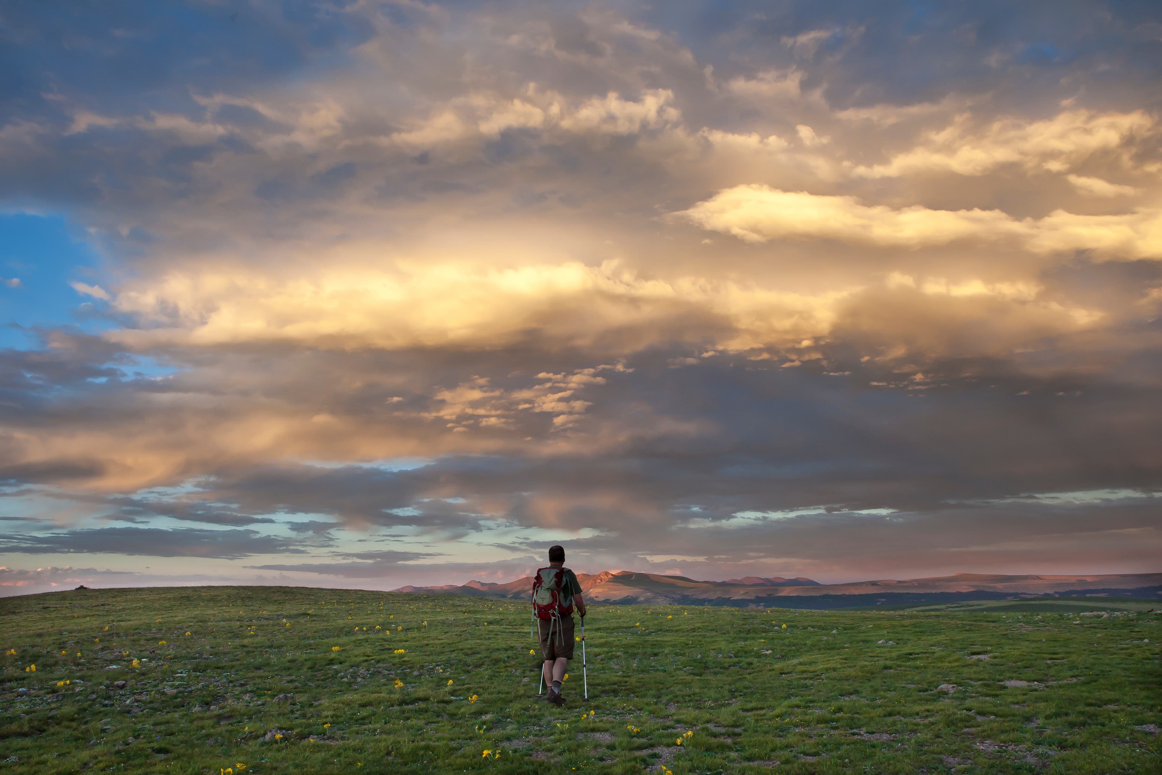
Continental Divide Trail (CDT)
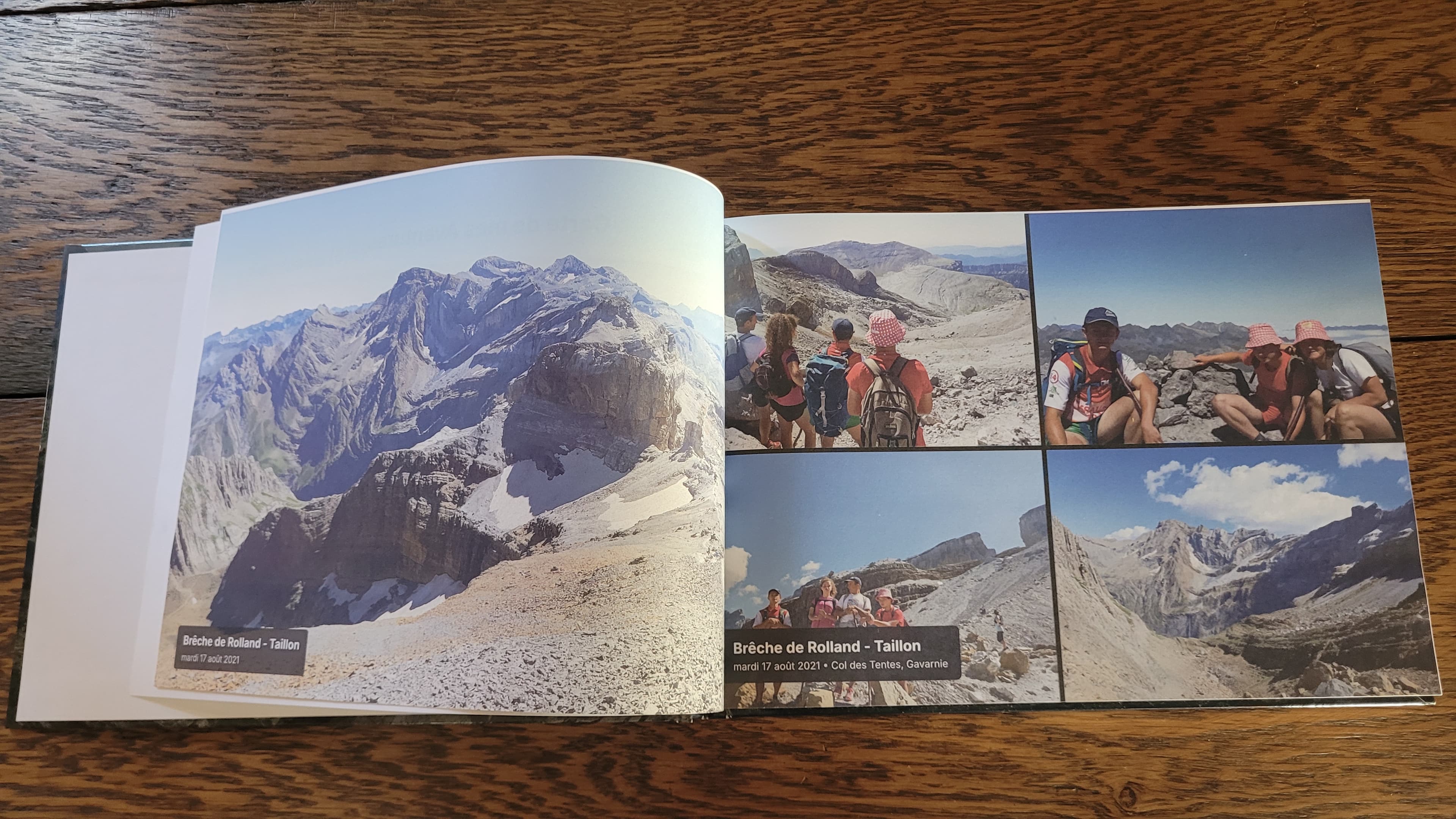
Celebrate your Continental Divide Triple Crown journey in a hardcover art book.
3,100 mi
(4,989 km)
+400,000 ft
(+121,900 m)
150 days (5 months)
Full thru-hike
Grays Peak (14,278 ft / 4,352 m)
Don't let your once-in-a-lifetime journey get buried in your smartphone
The wildest, highest, and most remote trail in North America. Along the spine of the continent from the Chihuahuan Desert to the jagged peaks of Glacier National Park, your CDT trek was the ultimate endurance test. Compile every high alpine ridge walk, Wind River glacial basin, and remote bivouac into a bespoke printed book.
- Wilderness map displaying your path across the Rocky Mountains
- Colorado 14ers and Wind River Range elevation tracking
- Custom chapter titles for each divide section and town stop
- Hardcover layflat and casebound formats with premium 170gsm art paper
Brendan Hickman's Solo Record (76 Days Self-Supported)
76 days, 10 hours, 52 minutes•40.5 mi / day (65.2 km / day) • Solo across the Rockies
In August 2023, American hiker Brendan Hickman established the recognized self-supported FKT on the 3,100-mile Continental Divide Trail, finishing in 76 days, 10 hours, and 52 minutes. Hiking completely solo with pre-mailed post office resupplies across New Mexico, Colorado, Wyoming, Idaho, and Montana, he averaged 40.5 miles per day on the highest and most remote trail in North America.
Whatever your pace, duration, or section length: Not everyone is built to chase ultra-endurance world records—and that is the beauty of it! While legends like Brendan Hickman could fill volumes with their pace, the true soul of the CDT lies in your own personal pilgrimage: your trail family, high-pass sunrises, and your own cadence. Every journey deserves its book.
The Iconic Sections of the CDT
Every section is automatically structured into individual chapters with authentic GPS tracks and geo-tagged summits.
New Mexico (Desert Bootheel & Gila)
Crazy Cook monument, Big Hatchet Mountains, Silver City, Gila River alternate river crossings, El Malpais lava fields, Ghost Ranch.
Colorado (The High 14ers Spine)
San Juan Mountains, Weminuche Wilderness, Collegiate Peaks, Grays Peak (highest point on the CDT at 14,278 ft), Rocky Mountain National Park.
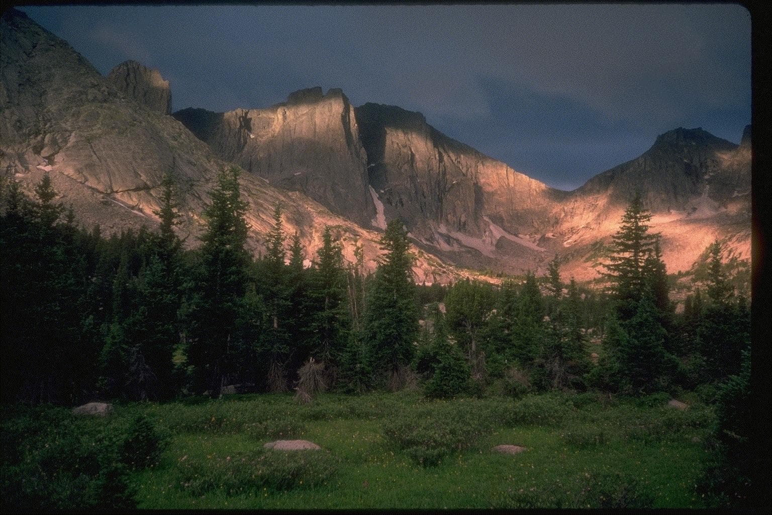
Wyoming (Great Divide Basin & Wind River)
Great Divide Basin desert expanse, Cirque of the Towers, Wind River Range, Knapsack Col, Grand Teton vistas, Yellowstone National Park.
Idaho / Montana Border (The Bitterroots)
Walking the knife-edge state border line, Chief Joseph Pass, Anaconda Pintler Wilderness alpine lakes.
Montana & Glacier National Park
Chinese Wall in the Bob Marshall Wilderness, Glacier National Park peaks, Ptarmigan Tunnel, Waterton Lake Northern Terminus.
How it works in 3 easy steps
Zero manual design headache, our smart engine compiles your whole thru-hike automatically.
Connect Strava or import GPX
All your sections are fetched with their GPS tracks, altitudes, and exact timestamps in seconds.
Sync your trail photos
Our spatiotemporal engine correlates each photo to the exact pass, lake, or camp automatically using timestamps and GPS.
Browse in 3D & Print
Customize your title, preview the 3D book, and receive your printed trophy delivered safely at your door.
Everything you need to know about your CDT book
Your CDT Thru-Hike Deserves a Permanent Spot on Your Coffee Table
Connect your Strava account or import GPX in 1 click to preview your virtual book for free.