

Milford Track
Four days through Fiordland, over Mackinnon Pass: your Milford Track in a printed book.
33.2 mi
(53.5 km)
4 days (3 nights)
Full thru-hike
Mackinnon Pass (3,786 ft / 1,154 m)
Don't let your once-in-a-lifetime journey get buried in your smartphone
The boat to Glade Wharf, the Clinton valley, Mackinnon Pass, Sutherland Falls and the last day to Sandfly Point. The Milford Track is walked in one direction, over four days, and every day is different. Your book gives each one its map, its profile and your photos.
- One chapter per day, hut to hut
- Mackinnon Pass and Sutherland Falls printed large
- Rain days too: often the best stories
- Combine it with Routeburn or Kepler in one book
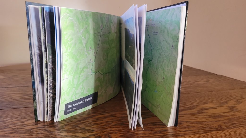
The Iconic Sections of the Milford Track
Every section is automatically structured into individual chapters with authentic GPS tracks and geo-tagged summits.
Glade Wharf → Clinton Hut
The boat across Lake Te Anau and a short first walk along the Clinton River.
Clinton Hut → Mintaro Hut
The glacier-carved valley, waterfalls and the climb towards the pass.
Mintaro Hut → Dumpling Hut
The pass, the memorial, the descent and the side trip to Sutherland Falls.
Dumpling Hut → Sandfly Point
Mackay Falls, Bell Rock, Lake Ada and the boat to Milford Sound.
How it works in 3 easy steps
Zero manual design headache, our smart engine compiles your whole thru-hike automatically.
Connect Strava or import GPX
All your sections are fetched with their GPS tracks, altitudes, and exact timestamps in seconds.
Sync your trail photos
Our spatiotemporal engine correlates each photo to the exact pass, lake, or camp automatically using timestamps and GPS.
Browse in 3D & Print
Customize your title, preview the 3D book, and receive your printed trophy delivered safely at your door.
Everything you need to know about your Milford Track book
Your Milford Track Thru-Hike Deserves a Permanent Spot on Your Coffee Table
Connect your Strava account or import GPX in 1 click to preview your virtual book for free.