
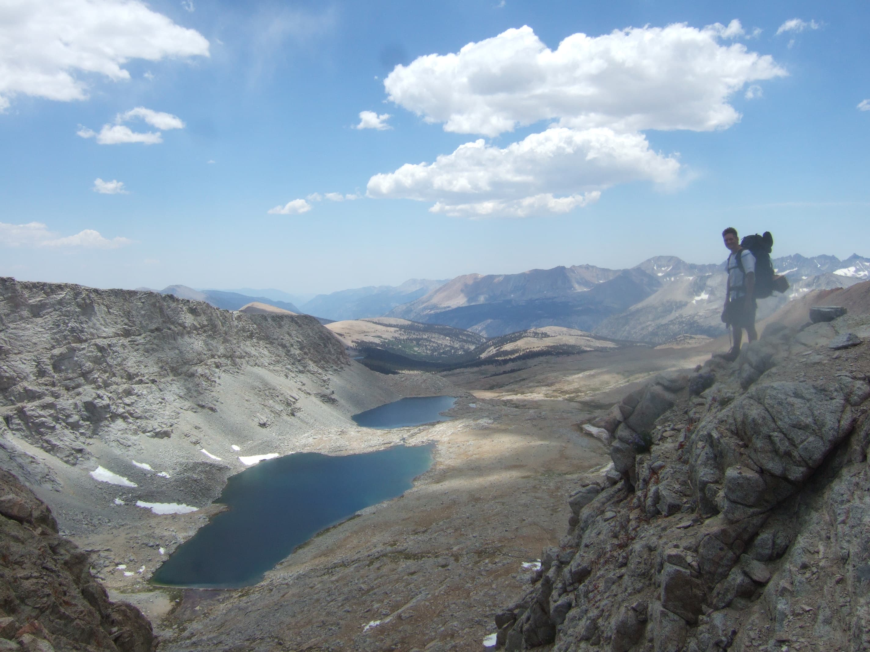
Pacific Crest Trail (PCT)
Turn your 2,650-mile PCT thru-hike into a luxury coffee-table keepsake book.
2,650 mi
(4,265 km)
+489,000 ft
(+149,000 m)
150 days (5 months)
Full thru-hike
Forester Pass (13,200 ft / 4,023 m)
Don't let your once-in-a-lifetime journey get buried in your smartphone
From the blazing heat of the Mojave Desert and the granite passes of the High Sierra to the jagged volcanoes of Oregon and the remote glaciers of the North Cascades: you conquered 2,650 miles of true American wilderness. Don't leave your thousands of photos, Strava GPS tracks, and campsite memories lost in smartphone folders. AdvenBook automatically compiles your entire journey into a museum-quality, custom printed coffee-table book with synchronized topographic maps and elevation profiles.
- Automatic chronologic sync of Strava, Garmin inReach and smartphone photos
- Topographic Satellite maps tracking your exact route across CA, OR, and WA
- True elevation profiles for high passes like Forester, Glen, and Muir Pass
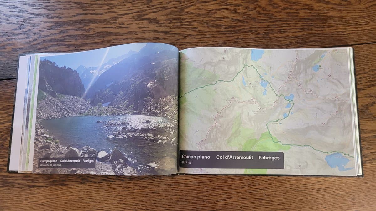
- Smyth-sewn layflat or hardcover binding built to last a lifetime
- Printed locally in the USA and Europe with premium 170gsm art paper
Nick Fowler's Historic Record (45 Days Self-Supported)
45 days, 17 hours, 47 minutes•56.7 mi / day (91.3 km / day) • up to 18h moving/day
In August 2024, American ultra-endurance athlete Nick Fowler shattered the Pacific Crest Trail self-supported record, covering the entire 2,650 miles from Canada to Mexico in 45 days, 17 hours, and 47 minutes. Running and hiking up to 18 hours a day with an average of 91 km (56.7 miles) daily, carrying his own gear and relying solely on pre-established resupplies, he completed what is widely recognized as one of the greatest feats in modern thru-hiking and ultra-endurance history.
Whatever your pace, duration, or section length: Not everyone is built to chase ultra-endurance world records—and that is the beauty of it! While legends like Nick Fowler could fill volumes with their pace, the true soul of the PCT lies in your own personal pilgrimage: your trail family, high-pass sunrises, and your own cadence. Every journey deserves its book.
The Iconic Sections of the PCT
Every section is automatically structured into individual chapters with authentic GPS tracks and geo-tagged summits.
Southern California (Desert & Tehachapi)
Mount Laguna, San Jacinto range, Mojave desert crossings, Walker Pass, wind farms of Tehachapi.
High Sierra & Central California
Mount Whitney side-trip, Forester Pass (13,200 ft), Rae Lakes, Muir Pass, Evolution Valley, Yosemite Tuolumne Meadows.
Northern California
Lassen Volcanic National Park, Castle Crags granite domes, Trinity Alps views, crossing into Oregon.
Oregon (Volcanoes & Lakes)
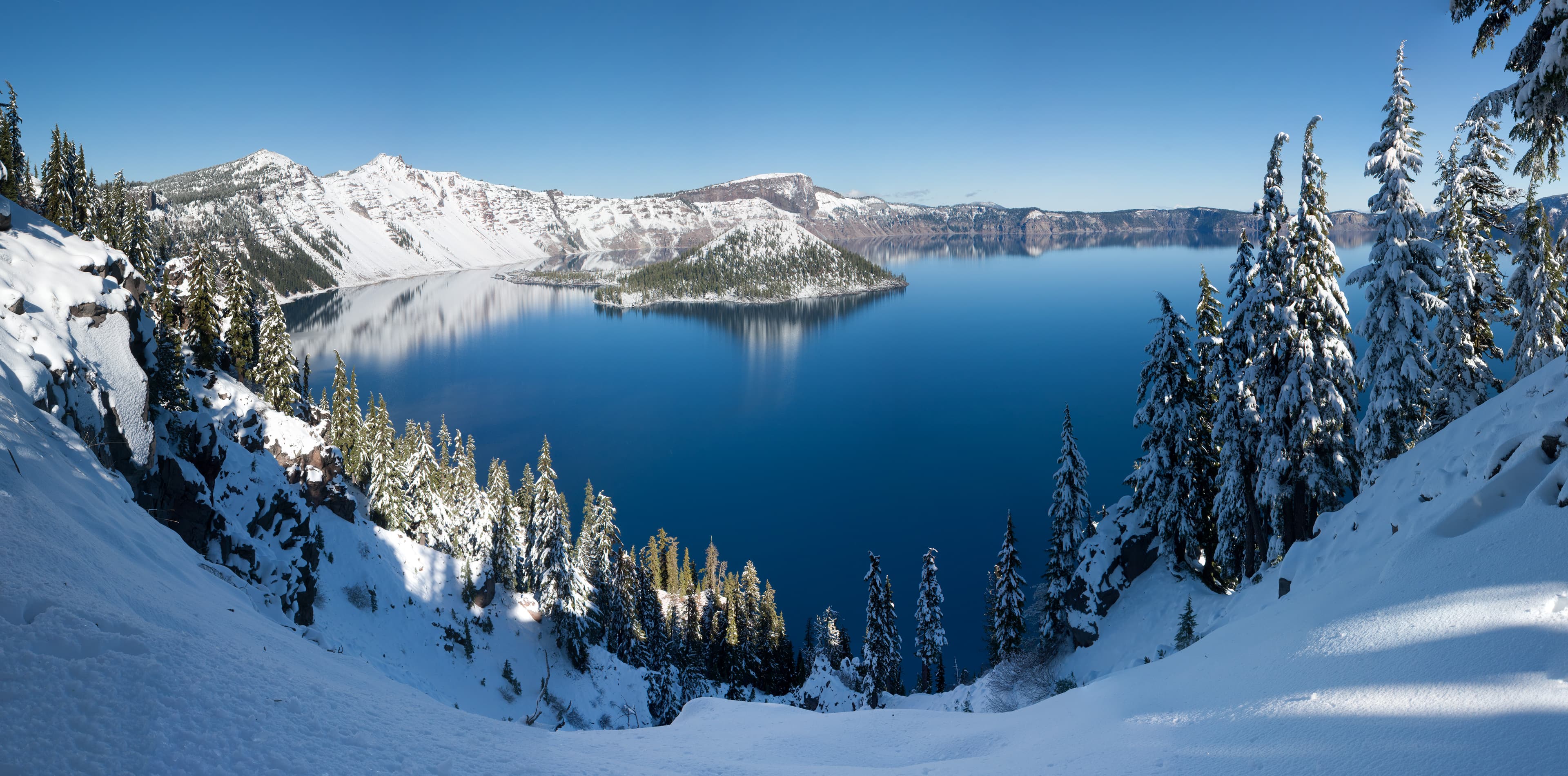
Crater Lake Rim trail, Three Sisters Wilderness, Mount Washington, Mount Jefferson, Timberline Lodge at Mt Hood.
Washington (The Rugged Cascades)
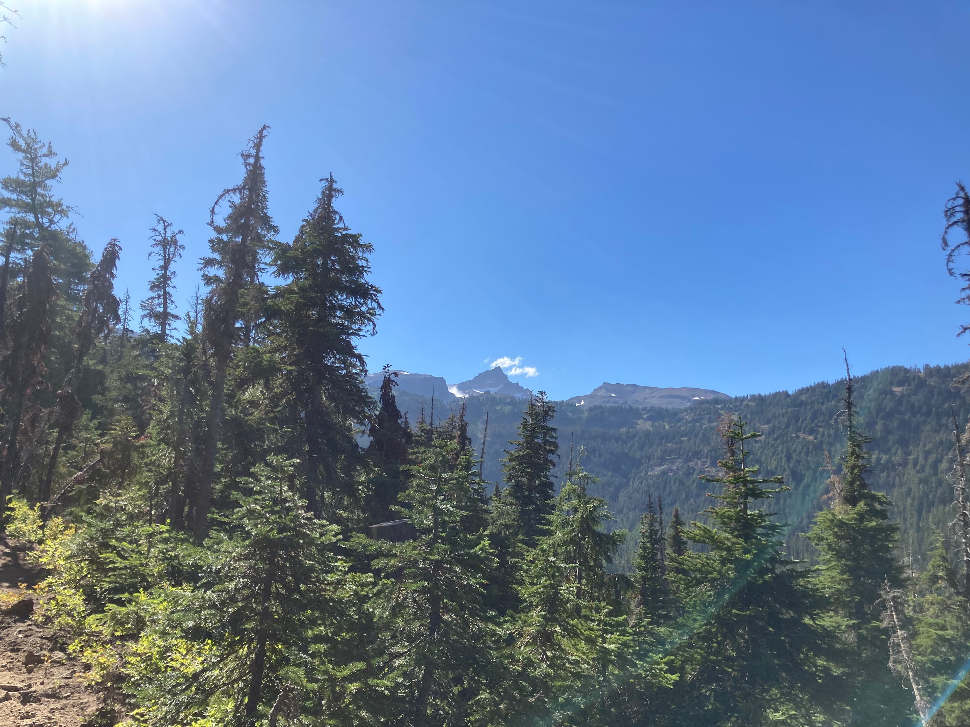
Bridge of the Gods, Goat Rocks Knife's Edge, Mount Rainier vistas, Glacier Peak wilderness, Monument 78 finish.
How it works in 3 easy steps
Zero manual design headache, our smart engine compiles your whole thru-hike automatically.
Connect Strava or import GPX
All your sections are fetched with their GPS tracks, altitudes, and exact timestamps in seconds.
Sync your trail photos
Our spatiotemporal engine correlates each photo to the exact pass, lake, or camp automatically using timestamps and GPS.
Browse in 3D & Print
Customize your title, preview the 3D book, and receive your printed trophy delivered safely at your door.
Everything you need to know about your PCT book
Your PCT Thru-Hike Deserves a Permanent Spot on Your Coffee Table
Connect your Strava account or import GPX in 1 click to preview your virtual book for free.